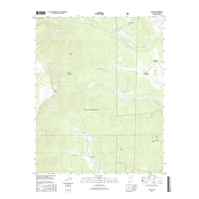
2017 Map of Gascon
USGS Topo · Published 2017About this map
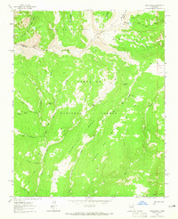
Santa Fe National Forest anchors the high-elevation terrain of this region in Mora County, where the eastern slopes of the Sangre de Cristo Mountains meet the valley floor. Small, historically significant settlements like Gascon, Pacheco Village, and Monte Aplanado are scattered along the foothills, illustrating the traditional rural land-use patterns of Northern New Mexico. The landscape is defined by its complex drainage network, including the Rito de Gascon and Rito San Jose, which feed into the larger river systems of the Sangre de Cristos.
Find a feature on this map
40 named features on this map. Tap any name to fly to it.
Don’t see what you’re looking for? This feature index may not catch every label — zoom into the map to look around manually.
Map Details
Editions of this 2017 Gascon Map
This is the sole edition of this map. No revisions or reprints were ever made.
Other maps of this area
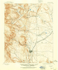
1889 · Las Vegas
USGS Topo · 1:125,000
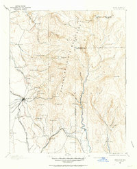
1889 · Santa Fe
USGS Topo · 1:125,000
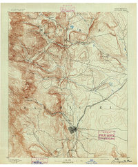
1891 · Las Vegas
USGS Topo · 1:125,000
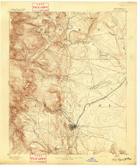
1893 · Las Vegas
USGS Topo · 1:125,000
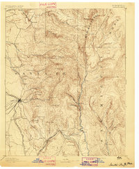
1894 · Santa Fe
USGS Topo · 1:125,000
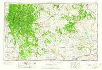
1954 · Santa Fe
USGS Topo · 1:250,000

1954 · Raton
USGS Topo · 1:250,000

1958 · Raton
USGS Topo · 1:250,000
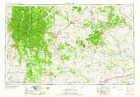
1958 · Santa Fe
USGS Topo · 1:250,000
1963 · Pecos Falls
USGS Topo · 1:24,000