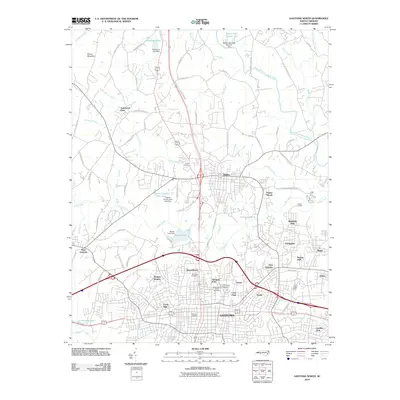
2010 Map of Gastonia North
USGS Topo · Published 2010About this map
Loray Mills stands as a prominent marker of industrial history in this northern portion of Gastonia, where the urban landscape meets the Piedmont's rolling hydrology. The map illustrates a dense concentration of local heritage sites, including the expansive Oakwood Cemetery and Rose Hill Cemetery, which serve as vital touchstones for genealogical research in the region. To the north, the town of Dallas remains a distinct center, separated from the growing Gastonia suburbs by the winding course of Long Creek and its many tributaries like Coley Creek and Little Long Creek.
Find a feature on this map
86 named features on this map. Tap any name to fly to it.
Don’t see what you’re looking for? This feature index may not catch every label — zoom into the map to look around manually.
Map Details
Editions of this 2010 Gastonia North Map
This is the sole edition of this map. No revisions or reprints were ever made.
Other maps of this area

1906 · Kings Mountain
USGS Topo · 1:62,500

1908 · Kings Mountain
USGS Topo · 1:62,500

1909 · Lincolnton
USGS Topo · 1:62,500

1911 · Lincolnton
USGS Topo · 1:62,500

1914 · Gastonia
USGS Topo · 1:48,000

1916 · Gastonia
USGS Topo · 1:62,500

1947 · Clover
USGS Topo · 1:62,500

1949 · Clover
USGS Topo · 1:62,500

1953 · Charlotte
USGS Topo · 1:250,000

1954 · Charlotte
USGS Topo · 1:250,000