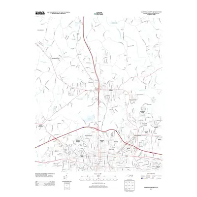
2013 Map of Gastonia North
USGS Topo · Published 2013About this map
Loray Mills stands as a focal point in this Gastonia landscape, anchoring a dense network of neighborhoods that characterize the northern reaches of the city. The area exhibits a complex pattern of residential growth, with established communities like Jenkins Heights, Oakland Park, and Love Park bordering the urban center. To the north, the town of Dallas serves as a secondary hub, separated from the city proper by the winding course of Long Creek.
Find a feature on this map
435 named features on this map. Tap any name to fly to it.
Don’t see what you’re looking for? This feature index may not catch every label — zoom into the map to look around manually.
Map Details
Editions of this 2013 Gastonia North Map
This is the sole edition of this map. No revisions or reprints were ever made.
Other maps of this area

1906 · Kings Mountain
USGS Topo · 1:62,500

1908 · Kings Mountain
USGS Topo · 1:62,500

1909 · Lincolnton
USGS Topo · 1:62,500

1911 · Lincolnton
USGS Topo · 1:62,500

1914 · Gastonia
USGS Topo · 1:48,000

1916 · Gastonia
USGS Topo · 1:62,500

1947 · Clover
USGS Topo · 1:62,500

1949 · Clover
USGS Topo · 1:62,500

1953 · Charlotte
USGS Topo · 1:250,000

1954 · Charlotte
USGS Topo · 1:250,000