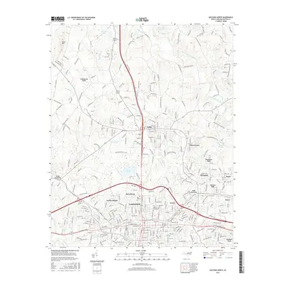
2016 Map of Gastonia North
USGS Topo · Published 2016About this map
Gastonia and the surrounding Gaston County landscape are presented here at a time of significant suburban development alongside established municipal landmarks. The map documents the northern expansion of the city through neighborhoods like Jenkins Heights and Beaverbrook, while also showing the distinct community identities of Dallas, Ranlo, and Smyre. For genealogists and local historians, the sheet is particularly valuable for its mapping of numerous interment sites, including Oakwood Cem, Rose Hill Cem, and the Craig Family Cem.
Find a feature on this map
315 named features on this map. Tap any name to fly to it.
Don’t see what you’re looking for? This feature index may not catch every label — zoom into the map to look around manually.
Map Details
Editions of this 2016 Gastonia North Map
This is the sole edition of this map. No revisions or reprints were ever made.
Other maps of this area

1906 · Kings Mountain
USGS Topo · 1:62,500

1908 · Kings Mountain
USGS Topo · 1:62,500

1909 · Lincolnton
USGS Topo · 1:62,500

1911 · Lincolnton
USGS Topo · 1:62,500

1914 · Gastonia
USGS Topo · 1:48,000

1916 · Gastonia
USGS Topo · 1:62,500

1947 · Clover
USGS Topo · 1:62,500

1949 · Clover
USGS Topo · 1:62,500

1953 · Charlotte
USGS Topo · 1:250,000

1954 · Charlotte
USGS Topo · 1:250,000