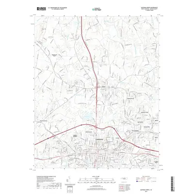
2019 Map of Gastonia North
USGS Topo · Published 2019About this map
The urban footprint of Gastonia and the historic seat of Dallas anchor this northern Gaston County study, where the Piedmont landscape transitions from dense residential blocks to rural hills. The core of Gastonia is a complex grid of streets like W Franklin Blvd and E Main Ave, surrounded by diverse neighborhoods such as Jenkins Heights and East Gastonia. Evidence of the area's deep-rooted community history is found in several family and municipal burial grounds, including Hollywood Cem and the Craig Family Cem.
Find a feature on this map
60 named features on this map. Tap any name to fly to it.
Don’t see what you’re looking for? This feature index may not catch every label — zoom into the map to look around manually.
Map Details
Editions of this 2019 Gastonia North Map
This is the sole edition of this map. No revisions or reprints were ever made.
Other maps of this area

1906 · Kings Mountain
USGS Topo · 1:62,500

1908 · Kings Mountain
USGS Topo · 1:62,500

1909 · Lincolnton
USGS Topo · 1:62,500

1911 · Lincolnton
USGS Topo · 1:62,500

1914 · Gastonia
USGS Topo · 1:48,000

1916 · Gastonia
USGS Topo · 1:62,500

1947 · Clover
USGS Topo · 1:62,500

1949 · Clover
USGS Topo · 1:62,500

1953 · Charlotte
USGS Topo · 1:250,000

1954 · Charlotte
USGS Topo · 1:250,000