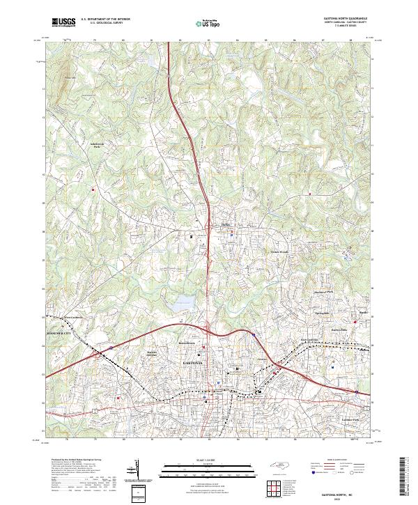
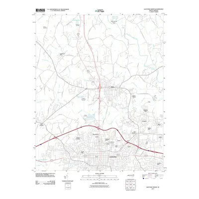
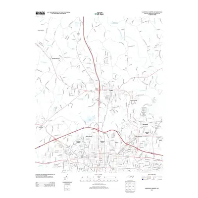
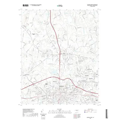
2022 Map of Gastonia North
USGS Topo · Published 2022About this map
Gastonia and Dallas anchor this 2022 survey of central Gaston County, illustrating a dense network of suburban development and civic infrastructure. The landscape is defined by the South Fork Catawba River and numerous tributaries like Long Cr and Catawba Cr. Genealogists will find significant detail in the mapping of local burial grounds, including Rose Hill Cem, Hollywood Cem, and the Craig Family Cem. The presence of the Gaston County Courthouse and Gaston College highlights the area's role as a regional administrative and educational center. Residential neighborhoods such as Ashebrook Park, Jenkins Heights, and Vinton Woods fill the spaces between major corridors, while Pasour Mtn provides a distinct topographical landmark to the northwest. This map serves as a modern baseline for tracing the evolution of family lands and community growth in the heart of the North Carolina Piedmont.
Find a feature on this map
310 named features on this map. Tap any name to fly to it.
Don’t see what you’re looking for? This feature index may not catch every label — zoom into the map to look around manually.
Map Details
Editions of this 2022 Gastonia North Map
This is the sole edition of this map. No revisions or reprints were ever made.
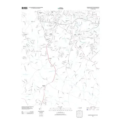
Historical Maps of Gastonia Through Time
15 maps found
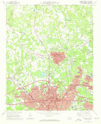
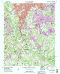
1970 Gastonia North
Gaston County, NC
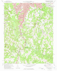
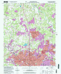
1973 Gastonia South
Gaston County, NC
1993 Gastonia North
Gaston County, NC
1993 Gastonia South
Gaston County, NC
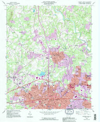
2002 Gastonia North
Gaston County, NC
2010 Gastonia North
Gaston County, NC
2011 Gastonia South
Gaston County, NC
2013 Gastonia North
Gaston County, NC
2013 Gastonia South
Gaston County, NC
2016 Gastonia North
Gaston County, NC
2016 Gastonia South
Gaston County, NC
2019 Gastonia North
Gaston County, NC
2019 Gastonia South
Gaston County, NC
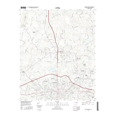
2022 Gastonia North
Gaston County, NC

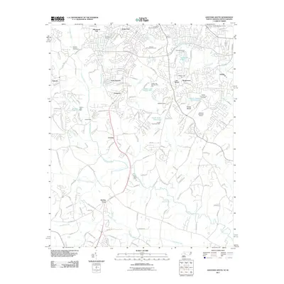
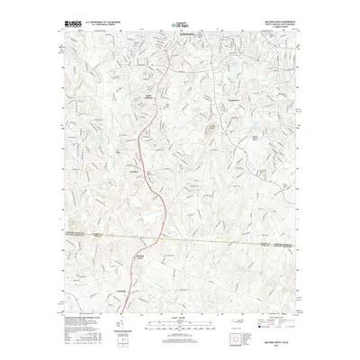
2022 Gastonia South
Gaston County, NC