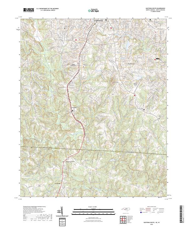
2022 Map of Gastonia South
USGS Topo · Published 2022About this map
Gastonia and Clover anchor this contemporary survey of the Piedmont borderlands, where the suburban expansion of Gaston County meets the rural stretches of York County. The transition from the dense street grids of South Gastonia to the rolling terrain near the state line is marked by long-standing community centers such as Crowders and Boogertown. This landscape is defined by its water and aviation infrastructure, from the industrial-adjacent Gullers Lake to the runways of Gastonia Municipal Airport.
Find a feature on this map
85 named features on this map. Tap any name to fly to it.
Don’t see what you’re looking for? This feature index may not catch every label — zoom into the map to look around manually.
Map Details
Editions of this 2022 Gastonia South Map
This is the sole edition of this map. No revisions or reprints were ever made.
Other maps of this area

1906 · Kings Mountain
USGS Topo · 1:62,500

1908 · Kings Mountain
USGS Topo · 1:62,500

1909 · Lincolnton
USGS Topo · 1:62,500

1911 · Lincolnton
USGS Topo · 1:62,500

1914 · Gastonia
USGS Topo · 1:48,000

1916 · Gastonia
USGS Topo · 1:62,500

1947 · Clover
USGS Topo · 1:62,500

1949 · Clover
USGS Topo · 1:62,500

1953 · Charlotte
USGS Topo · 1:250,000

1954 · Charlotte
USGS Topo · 1:250,000