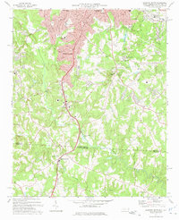
1973 Map of Gastonia South
USGS Topo · Published 1975About this map
Gastonia and its southern suburbs define this early 1970s landscape, where residential expansion meets the older rural traditions of the North Carolina South Carolina border. The Southern railroad line serves as a central spine, passing through South Gastonia and continuing south past the community of Bowling Green. This era shows a mix of industrial and civic development, from the Industrial Waste Ponds to the sprawling grounds of the Gastonia Country Club and the Gastonia Airport.
Find a feature on this map
58 named features on this map. Tap any name to fly to it.
Don’t see what you’re looking for? This feature index may not catch every label — zoom into the map to look around manually.
Map Details
Editions of this 1973 Gastonia South Map
This is the sole edition of this map. No revisions or reprints were ever made.
Other maps of this area

1906 · Kings Mountain
USGS Topo · 1:62,500

1908 · Kings Mountain
USGS Topo · 1:62,500

1909 · Lincolnton
USGS Topo · 1:62,500

1911 · Lincolnton
USGS Topo · 1:62,500

1914 · Gastonia
USGS Topo · 1:48,000

1916 · Gastonia
USGS Topo · 1:62,500

1947 · Clover
USGS Topo · 1:62,500

1949 · Clover
USGS Topo · 1:62,500

1953 · Charlotte
USGS Topo · 1:250,000

1954 · Charlotte
USGS Topo · 1:250,000