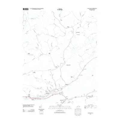
2013 Map of Gate City
USGS Topo · Published 2013About this map
Gate City and neighboring Weber City sit at the center of this 2013 Scott County study, marking a strategic mountain pass where human development follows the deep curves of the landscape. The geography is defined by narrow ridges and drainages like Alley Valley and Moccasin Valley, which funnel transportation through tight corridors such as Moccasin Gap. This map reveals a long-standing reliance on local water power and rail transit, evidenced by several named mills including Carrico Mill, Cox Mill, and Jayne Mill along the creek beds.
Find a feature on this map
148 named features on this map. Tap any name to fly to it.
Don’t see what you’re looking for? This feature index may not catch every label — zoom into the map to look around manually.
Map Details
Editions of this 2013 Gate City Map
This is the sole edition of this map. No revisions or reprints were ever made.
Other maps of this area

1894 · Estillville
USGS Topo · 1:125,000

1897 · Bristol
USGS Topo · 1:125,000

1902 · Bristol
USGS Topo · 1:125,000

1920 · Wise
USGS Topo · 1:48,000

1920 · Coeburn
USGS Topo · 1:48,000

1921 · Wise
USGS Topo · 1:62,500

1935 · Hilton
USGS Topo · 1:24,000

1935 · Moggasin
USGS Topo · 1:48,000

1935 · East Stone Gap
USGS Topo · 1:24,000

1935 · Kingsport
USGS Topo · 1:24,000