
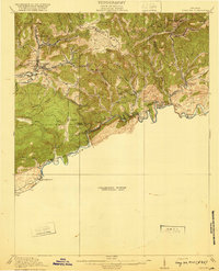
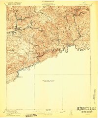
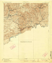
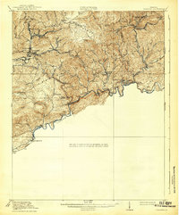
1920 Map of Coeburn
USGS Topo · Published 1920About this map
Sandy Ridge forms the backbone of this terrain, a high divide separating the waters of the Cranes Nest River from the steep valleys leading to the Clinch River. The map documents a landscape defined by the heavy infrastructure of early 20th-century industry, where the Norfolk and Western and Carolina Clinchfield and Ohio railroads snake through gaps and river bends to reach mining and timber hubs like Dante, Vicco, and Coeburn. Rural life is etched into the hillsides through a network of country schools, including the Cherry Knob School and Fairview School, alongside river-crossings like Burtons Ford. The distribution of settlements such as Bondtown and Dwina illustrates the era's dependence on rail and river transport before the expansion of modern road systems, capturing the coalfield country of Southwest Virginia at its industrial height.
Find a feature on this map
51 named features on this map. Tap any name to fly to it.
Don’t see what you’re looking for? This feature index may not catch every label — zoom into the map to look around manually.
Map Details
Editions of this 1920 Coeburn Map
5 editions found
Other maps of this area

1886 · Grundy
USGS Topo · 1:125,000

1890 · Whitesburg
USGS Topo · 1:125,000

1890 · Grundy
USGS Topo · 1:125,000

1892 · Grundy
USGS Topo · 1:125,000

1892 · Whitesburg
USGS Topo · 1:125,000

1894 · Estillville
USGS Topo · 1:125,000

1897 · Bristol
USGS Topo · 1:125,000

1902 · Bristol
USGS Topo · 1:125,000

1912 · Pound
USGS Topo · 1:48,000

1913 · Clintwood
USGS Topo · 1:62,500