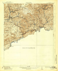
1920 Map of Coeburn
USGS Topo · Published 1939About this map
The Clinch River defines the southern boundary of this 1916 survey, winding through a landscape shaped by coal-era logistics and the rugged ridges of Southwest Virginia. Coeburn and Bondtown stand as significant rail hubs along the Norfolk and Western Ry, while the Carolina Clinchfield and Ohio Ry hugs the riverbanks to the south. This mapping shows the intricate network of mining-era settlements and post offices such as Dwinna P O and Lowland P O, alongside rural educational centers like Greenwood School and Fairview School. The map's topography, controlled by the Clinchfield Coal Corporation, highlights the industrial importance of the terrain. Notable crossings like Burtons Ford and the junction at Miller Yard illustrate how river and rail transport dictated the growth of small mountain communities during this period of expansion.
Find a feature on this map
59 named features on this map. Tap any name to fly to it.
Don’t see what you’re looking for? This feature index may not catch every label — zoom into the map to look around manually.
Map Details
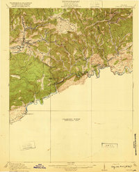
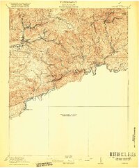
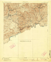
Editions of this 1920 Coeburn Map
5 editions found

Other maps of this area

1886 · Grundy
USGS Topo · 1:125,000

1890 · Whitesburg
USGS Topo · 1:125,000

1890 · Grundy
USGS Topo · 1:125,000

1892 · Grundy
USGS Topo · 1:125,000

1892 · Whitesburg
USGS Topo · 1:125,000

1894 · Estillville
USGS Topo · 1:125,000

1897 · Bristol
USGS Topo · 1:125,000

1902 · Bristol
USGS Topo · 1:125,000

1912 · Pound
USGS Topo · 1:48,000

1913 · Clintwood
USGS Topo · 1:62,500