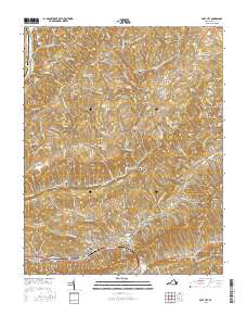
2016 Map of Gate City
USGS Topo · Published 2016About this map
Gate City and the neighboring Weber City anchor this landscape where the Clinch River meets the steep relief of Clinch Mountain. The geography is defined by parallel ridges and fertile valleys, such as Alley Valley and Moccasin Valley, which have long dictated the placement of settlements and agricultural infrastructure. Historical industry is evidenced by the presence of multiple sites including Cox Mill, Williams Mill, and Carrico Mill, all situated along the drainage networks of Copper Creek and its tributaries. For genealogists, the map is remarkably dense with family-named burial grounds, such as the Gibson Family Cem, Spencer Alley Cem, and Frederick Starnes Cem, reflecting generations of local landownership. The Norfolk Southern line traces the southern corridor, highlighting the enduring importance of rail transport through the mountain passes.
Find a feature on this map
147 named features on this map. Tap any name to fly to it.
Don’t see what you’re looking for? This feature index may not catch every label — zoom into the map to look around manually.
Map Details
Editions of this 2016 Gate City Map
This is the sole edition of this map. No revisions or reprints were ever made.
Other maps of this area

1894 · Estillville
USGS Topo · 1:125,000

1897 · Bristol
USGS Topo · 1:125,000

1902 · Bristol
USGS Topo · 1:125,000

1920 · Wise
USGS Topo · 1:48,000

1920 · Coeburn
USGS Topo · 1:48,000

1921 · Wise
USGS Topo · 1:62,500

1935 · Hilton
USGS Topo · 1:24,000

1935 · Moggasin
USGS Topo · 1:48,000

1935 · East Stone Gap
USGS Topo · 1:24,000

1935 · Kingsport
USGS Topo · 1:24,000