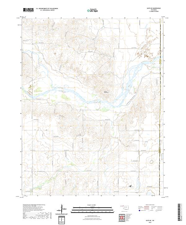
2022 Map of Gate NE
USGS Topo · Published 2022About this map
The Cimarron River carves a broad path across the landscape of Beaver and Harper counties, defining the topography of this corner of Oklahoma. The riverbed is flanked by a complex network of dry washes and gullies, many identified by systematic coordinates like Hollow N1620 and Hollow E0017, illustrating the intricate drainage patterns of the High Plains. To the south of the river, Devils Backbone rises as a prominent landmark, overlooking the valley and the confluence of tributaries such as Crooked Creek and Horse Creek. Local history is anchored by the Gate Cem in the southern portion of the quadrangle. The presence of the Courthouse Old Settlers Irrigation channel reflects the historical necessity of water management in this arid region, where small seasonal flows like Bullard Cr and W Fork Horse Cr dictated the early settlement and agricultural potential of the land.
Find a feature on this map
49 named features on this map. Tap any name to fly to it.
Don’t see what you’re looking for? This feature index may not catch every label — zoom into the map to look around manually.
Map Details
Editions of this 2022 Gate NE Map
This is the sole edition of this map. No revisions or reprints were ever made.
Other maps of this area

1892 · Meade
USGS Topo · 1:125,000

1896 · Ashland
USGS Topo · 1:125,000

1954 · Perryton
USGS Topo · 1:250,000

1955 · Woodward
USGS Topo · 1:250,000

1955 · Pratt
USGS Topo · 1:250,000

1955 · Dodge City
USGS Topo · 1:250,000

1958 · Perryton
USGS Topo · 1:250,000

1958 · Woodward
USGS Topo · 1:250,000

1958 · Dodge City
USGS Topo · 1:250,000

1959 · Pratt
USGS Topo · 1:250,000