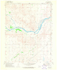
1970 Map of Gate NE
USGS Topo · Published 1972About this map
The Cimarron River winds through this Panhandle landscape, shaping a terrain defined by broad river bends and the prominent ridge known as Devils Backbone. Surveyed in 1969, the map reveals an economy pivoting between traditional agriculture and growing energy extraction, evidenced by the numerous Gas Wells and both buried and aboveground pipelines crossing the townships of Garland and Gate. Water management remains a visible priority for the arid region, showcased by the Old Settlers Irrigation Ditch running parallel to the river. Local landmarks like Gate Cem and various resource sites, including a Caliche Pit and Sandpit, offer specific points of interest for genealogists and local historians tracing the development of Beaver County during the late twentieth century.
Find a feature on this map
23 named features on this map. Tap any name to fly to it.
Don’t see what you’re looking for? This feature index may not catch every label — zoom into the map to look around manually.
Map Details
Editions of this 1970 Gate NE Map
This is the sole edition of this map. No revisions or reprints were ever made.
Other maps of this area

1892 · Meade
USGS Topo · 1:125,000

1896 · Ashland
USGS Topo · 1:125,000

1954 · Perryton
USGS Topo · 1:250,000

1955 · Woodward
USGS Topo · 1:250,000

1955 · Pratt
USGS Topo · 1:250,000

1955 · Dodge City
USGS Topo · 1:250,000

1958 · Perryton
USGS Topo · 1:250,000

1958 · Woodward
USGS Topo · 1:250,000

1958 · Dodge City
USGS Topo · 1:250,000

1959 · Pratt
USGS Topo · 1:250,000