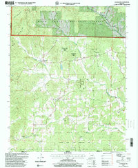
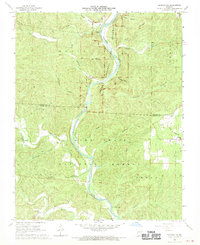
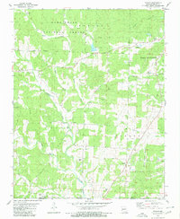
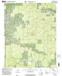
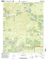
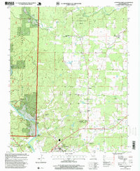
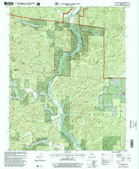
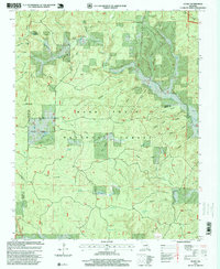
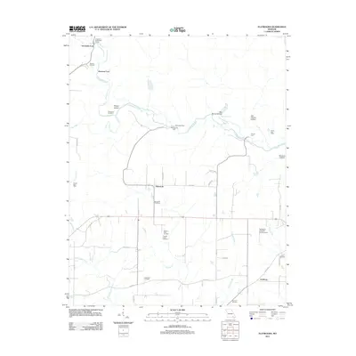
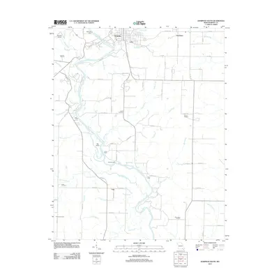
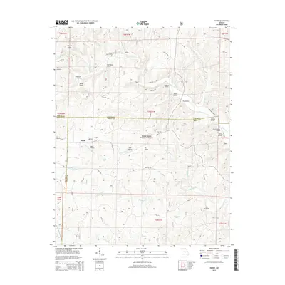
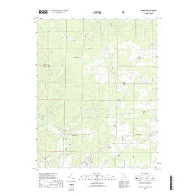
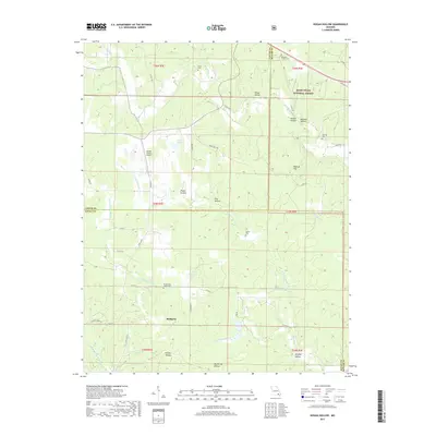
1997 Map of Gatewood
USGS Topo · Published 2000About this map
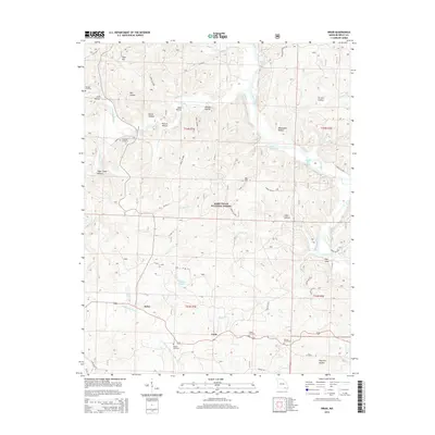
Gatewood and the smaller community of Tucker serve as the primary human touchpoints in this rugged portion of the Ozark foothills during the late 1990s. The landscape is defined by the heavy timber of the Mark Twain National Forest and the Fourche Creek State Conservation Area, where drainage networks like West Fork Fourche Creek and Middle Fork Fourche Creek carve through the terrain. Evidence of rural life is sparse but significant, centered around local gathering places such as Johnson Chapel, New Home Church, and Tucker Church.
Find a feature on this map
25 named features on this map. Tap any name to fly to it.
Don’t see what you’re looking for? This feature index may not catch every label — zoom into the map to look around manually.
Map Details
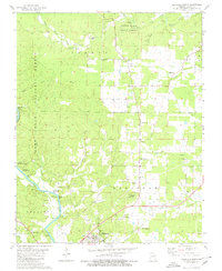
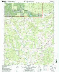
Editions of this 1997 Gatewood Map
This is the sole edition of this map. No revisions or reprints were ever made.
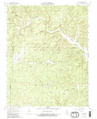
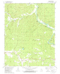
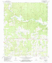
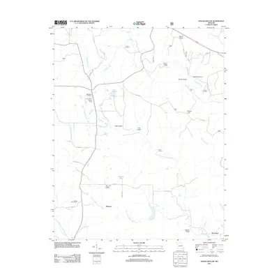
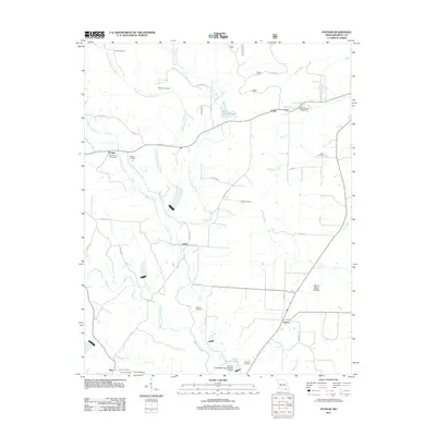
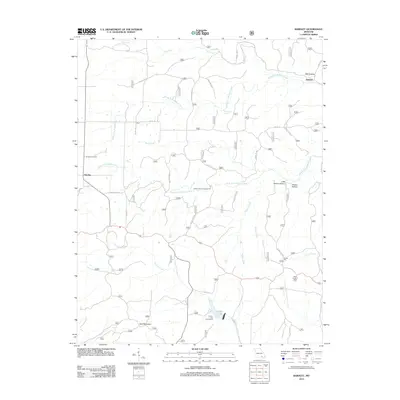
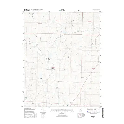
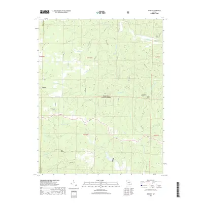
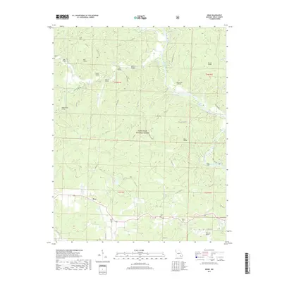
Historical Maps of Tucker Through Time
58 maps found
1935 Acorn
Ripley County, MO
1965 Bardley
Ripley County, MO
1965 Gatewood
Ripley County, MO
1968 Grandin SW
Ripley County, MO
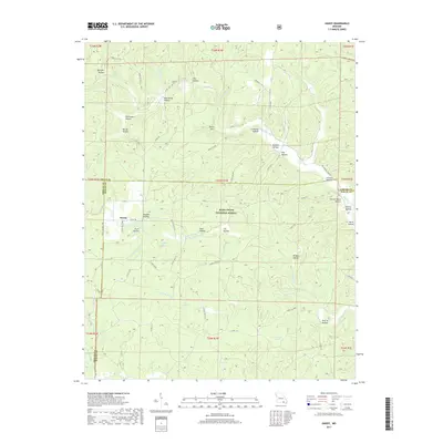
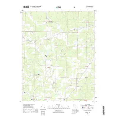
1968 Handy
Ripley County, MO
1979 Briar
Ripley County, MO
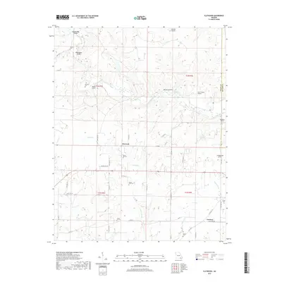
1979 Flatwoods
Ripley County, MO
1979 Poynor
Ripley County, MO
1980 Doniphan North
Ripley County, MO
1980 Doniphan South
Ripley County, MO
1980 Hogan Hollow
Ripley County, MO
1997 Bardley
Ripley County, MO
1997 Briar
Ripley County, MO
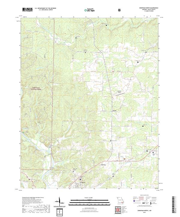
1997 Doniphan North
Ripley County, MO
1997 Gatewood
Ripley County, MO
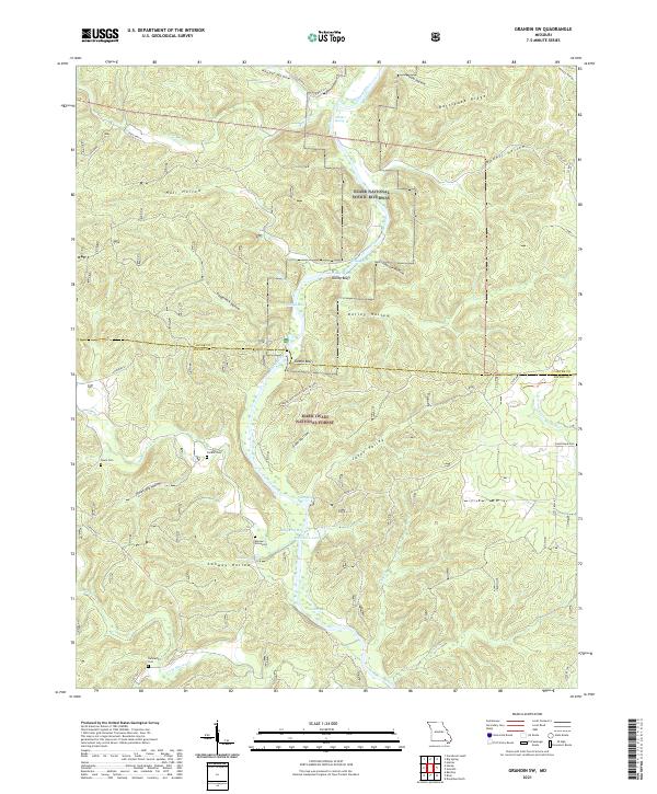
1997 Grandin SW
Ripley County, MO
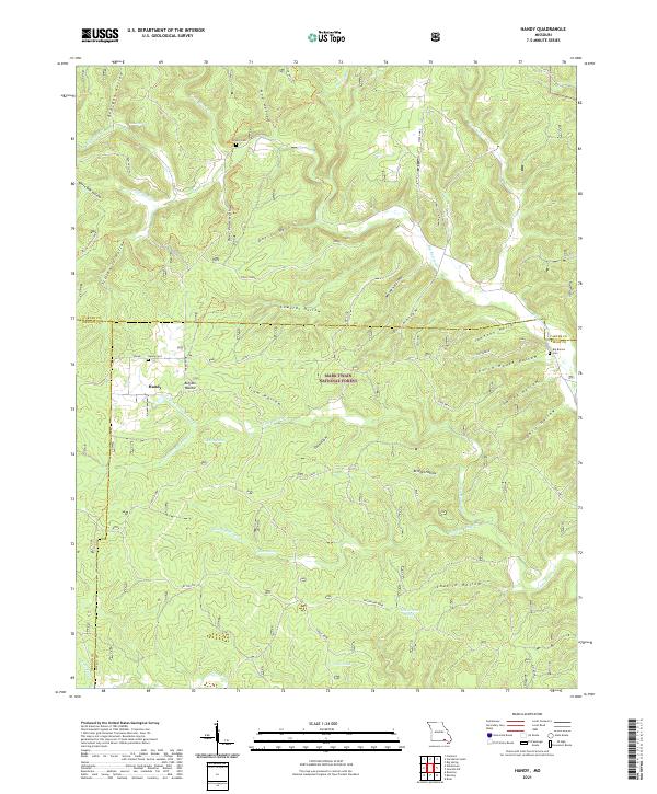
1997 Handy
Ripley County, MO
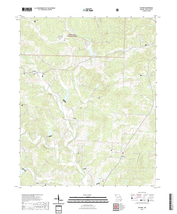
1997 Poynor
Ripley County, MO
2011 Briar
Ripley County, MO
2011 Doniphan North
Ripley County, MO
2011 Flatwoods
Ripley County, MO

2011 Grandin SW
Ripley County, MO
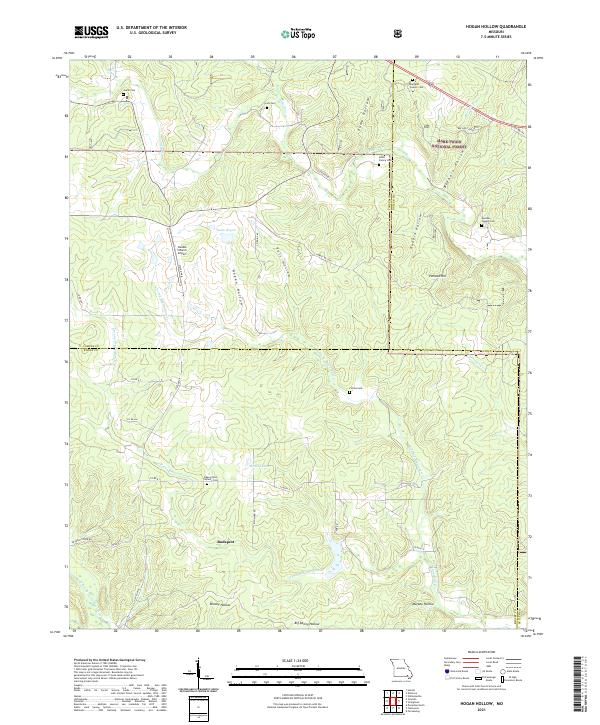
2011 Hogan Hollow
Ripley County, MO
2011 Poynor
Ripley County, MO
2012 Bardley
Ripley County, MO
2012 Doniphan South
Ripley County, MO
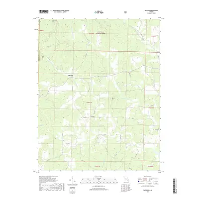
2012 Gatewood
Ripley County, MO
2012 Handy
Ripley County, MO
2015 Bardley
Ripley County, MO
2015 Briar
Ripley County, MO
2015 Doniphan North
Ripley County, MO

2015 Doniphan South
Ripley County, MO
2015 Flatwoods
Ripley County, MO
2015 Gatewood
Ripley County, MO

2015 Grandin SW
Ripley County, MO
2015 Handy
Ripley County, MO

2015 Hogan Hollow
Ripley County, MO
2015 Poynor
Ripley County, MO
2017 Bardley
Ripley County, MO
2017 Briar
Ripley County, MO
2017 Doniphan North
Ripley County, MO

2017 Doniphan South
Ripley County, MO
2017 Flatwoods
Ripley County, MO
2017 Gatewood
Ripley County, MO

2017 Grandin SW
Ripley County, MO
2017 Handy
Ripley County, MO
2017 Hogan Hollow
Ripley County, MO
2017 Poynor
Ripley County, MO
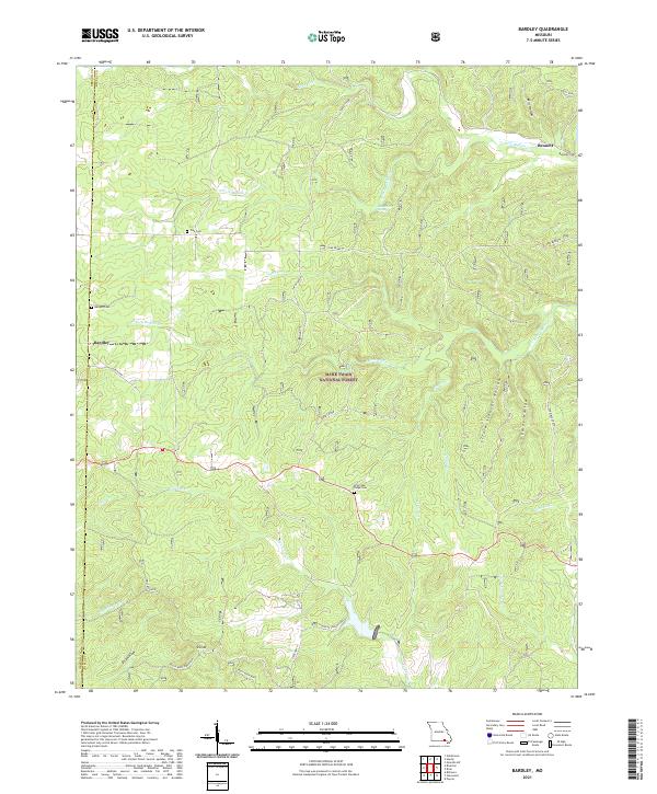
2021 Bardley
Ripley County, MO
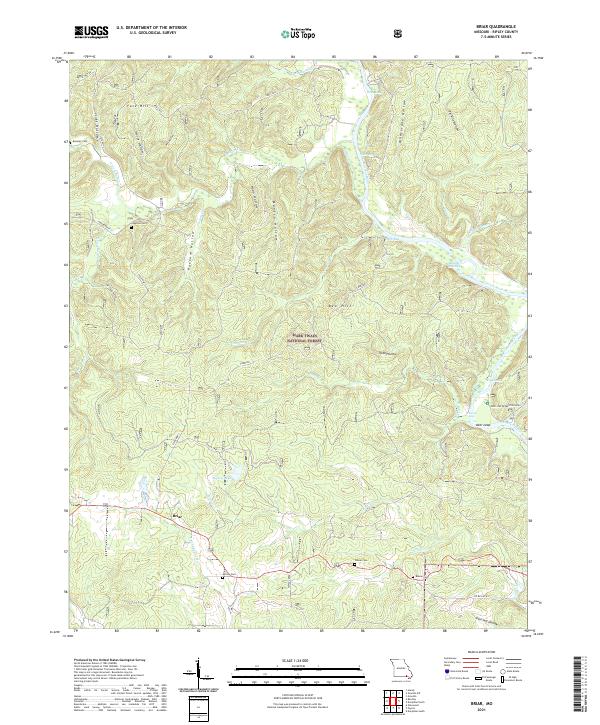
2021 Briar
Ripley County, MO
2021 Doniphan North
Ripley County, MO
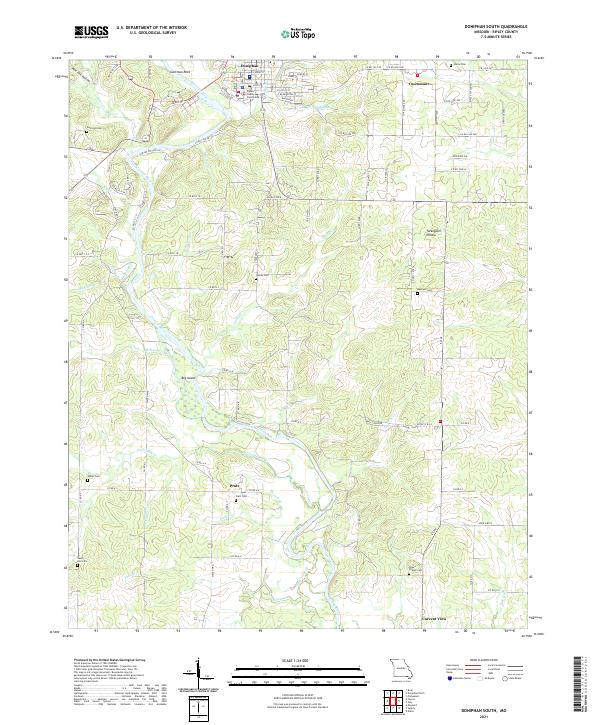
2021 Doniphan South
Ripley County, MO
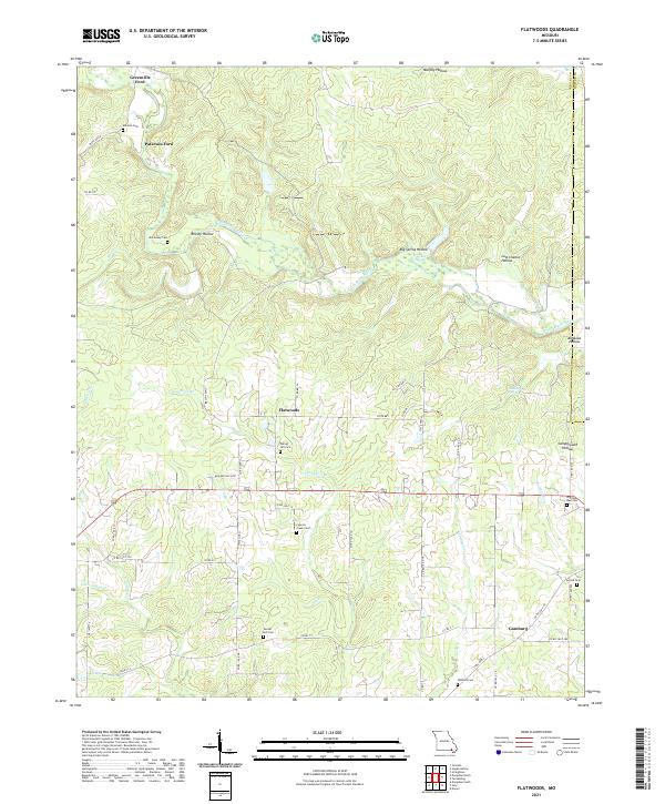
2021 Flatwoods
Ripley County, MO
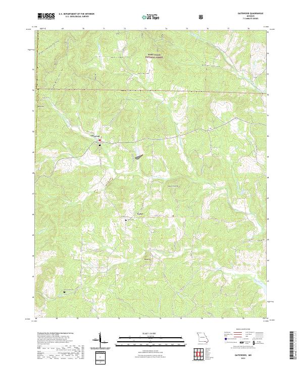
2021 Gatewood
Ripley County, MO
2021 Grandin SW
Ripley County, MO
2021 Handy
Ripley County, MO
2021 Hogan Hollow
Ripley County, MO
2021 Poynor
Ripley County, MO