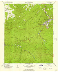
1956 Map of Gatlinburg
USGS Topo · Published 1957About this map
Gatlinburg and the surrounding wilderness of the Great Smoky Mountains National Park appear here during a period of transition, following field checks by the Tennessee Valley Authority and the USGS in the early 1940s. The map captures the settlement of Elkmont along the Middle Prong Little River, an area with deep roots in the region's logging and early tourism history. Educational and spiritual centers of the community are noted, including Banner Sch and Valley View Ch.
Find a feature on this map
58 named features on this map. Tap any name to fly to it.
Don’t see what you’re looking for? This feature index may not catch every label — zoom into the map to look around manually.
Map Details
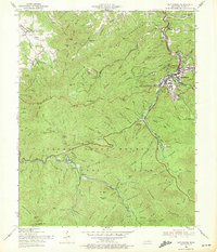
Editions of this 1956 Gatlinburg Map
2 editions found
Other maps of this area

1886 · Knoxville
USGS Topo · 1:125,000

1892 · Knoxville
USGS Topo · 1:125,000

1893 · Mt Guyot
USGS Topo · 1:125,000

1894 · Knoxville
USGS Topo · 1:125,000

1895 · Knoxville
USGS Topo · 1:125,000

1901 · Knoxville
USGS Topo · 1:125,000

1912 · Mt Guyot
USGS Topo · 1:125,000

1935 · English Mountain
USGS Topo · 1:48,000

1935 · Walden Creek
USGS Topo · 1:24,000

1935 · Richardson Cove
USGS Topo · 1:24,000