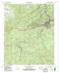
1979 Map of Gatlinburg
USGS Topo · Published 1979About this map
Gatlinburg serves as the focal point of this late 1970s survey, illustrating the dense concentration of development along the West Prong Little River and Roaring Fork. While the town center shows established infrastructure like a Substation and Sewage Disposal Plant, the surrounding landscape is defined by the sharp transition into the Great Smoky Mountains. This era shows the expansion of residential and resort areas such as Chalet Village and Greystone Heights climbing the lower slopes of Cove Mountain.
Find a feature on this map
117 named features on this map. Tap any name to fly to it.
Don’t see what you’re looking for? This feature index may not catch every label — zoom into the map to look around manually.
Map Details
Editions of this 1979 Gatlinburg Map
3 editions found
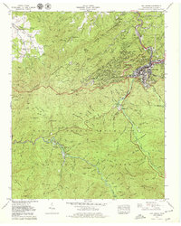

Other maps of this area

1886 · Knoxville
USGS Topo · 1:125,000

1892 · Knoxville
USGS Topo · 1:125,000

1893 · Mt Guyot
USGS Topo · 1:125,000

1894 · Knoxville
USGS Topo · 1:125,000

1895 · Knoxville
USGS Topo · 1:125,000

1901 · Knoxville
USGS Topo · 1:125,000

1912 · Mt Guyot
USGS Topo · 1:125,000

1935 · English Mountain
USGS Topo · 1:48,000

1935 · Walden Creek
USGS Topo · 1:24,000

1935 · Richardson Cove
USGS Topo · 1:24,000