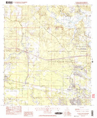
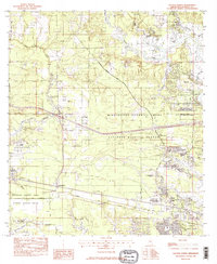
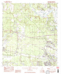
1982 Map of Gautier North
USGS Topo · Published 1983About this map
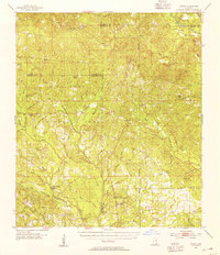
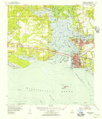
Mississippi Sandhill Crane National Wildlife Refuge dominates the landscape of Jackson County in the early 1980s, preserving a large swath of coastal savanna and wetland habitat. The southern portion of the map shows the transition from these protected lands into the developing communities of Gautier and Fontainebleau. The transportation corridor is anchored by the L & N RR and the Old Spanish Trail, reflecting historical movement patterns along the Gulf Coast.
Find a feature on this map
41 named features on this map. Tap any name to fly to it.
Don’t see what you’re looking for? This feature index may not catch every label — zoom into the map to look around manually.
Map Details
Editions of this 1982 Gautier North Map
3 editions found
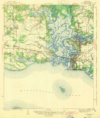
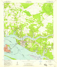
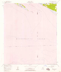
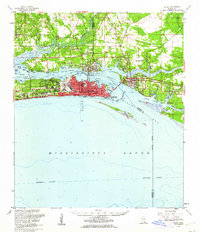
Other maps of this area

1941 · Vancleave
USGS Topo · 1:62,500
1943 · Pascagoula
USGS Topo · 1:62,500

1943 · Vancleave
USGS Topo · 1:62,500

1944 · Vancleave
USGS Topo · 1:62,500

1953 · Mobile
USGS Topo · 1:250,000
1954 · Vestry
USGS Topo · 1:62,500
1954 · Ocean Springs
USGS Topo · 1:24,000
1954 · Deer Island
USGS Topo · 1:24,000
1954 · Biloxi
USGS Topo · 1:62,500
1955 · Pascagoula
USGS Topo · 1:62,500