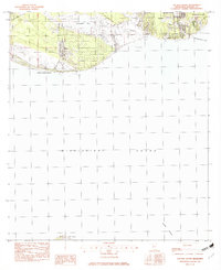
1982 Map of Gautier South
USGS Topo · Published 1982About this map
The coastal settlement of Gautier occupies the northeastern corner of this 1982 survey, where the residential grids meet the edge of Shepard State Park and Pascagoula Bay. The landscape is dominated by the complex hydrology of the Gulf Coast, defined by the tidal reaches of Graveline Bay and the winding Graveline Bayou. To the west, the peninsula tapers toward Belle Fontaine Point, a notable coastal landmark before the shoreline drops away into the vast expanse of the Mississippi Sound.
Find a feature on this map
15 named features on this map. Tap any name to fly to it.
Don’t see what you’re looking for? This feature index may not catch every label — zoom into the map to look around manually.
Map Details
Editions of this 1982 Gautier South Map
2 editions found
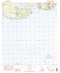
Other maps of this area

1941 · Horn Island
USGS Topo · 1:62,500

1942 · Horn Island
USGS Topo · 1:62,500

1943 · Pascagoula
USGS Topo · 1:62,500

1950 · Dog Keys Pass
USGS Topo · 1:24,000

1953 · Mobile
USGS Topo · 1:250,000

1954 · Ocean Springs
USGS Topo · 1:24,000

1954 · Deer Island
USGS Topo · 1:24,000

1954 · Biloxi
USGS Topo · 1:62,500

1955 · Pascagoula
USGS Topo · 1:62,500

1957 · Mobile
USGS Topo · 1:250,000