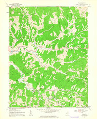
1960 Map of Gay
USGS Topo · Published 1963About this map
Frozencamp and the small village of Gay anchor this 1960 landscape within Jackson County, characterized by a dense network of winding creek valleys and high knobs. The area is defined by the headwaters of Mill Creek and Frozencamp Creek, where narrow roads follow the water gaps through the hills. This survey reveals a deeply established rural community evidenced by the high concentration of family cemeteries, such as Waybright Cem and Litton Cem, alongside numerous country churches and schools like Louther Ch and Rocky Knob Sch. Many small settlements, including Allentown and Marshall, are positioned at valley intersections, while a proliferation of gas wells across the hillsides suggests the significant role of the natural gas industry in the local economy during this era. High points like Buckeye Knob and Marsh Hart Knob provide the framework for the complex terrain that separated these small West Virginia homesteads and parishes.
Find a feature on this map
84 named features on this map. Tap any name to fly to it.
Don’t see what you’re looking for? This feature index may not catch every label — zoom into the map to look around manually.
Map Details
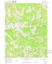
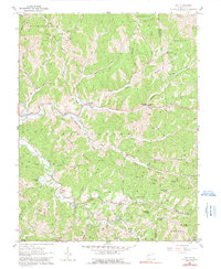
Editions of this 1960 Gay Map
3 editions found
Other maps of this area

1906 · Kenna
USGS Topo · 1:62,500

1906 · Walton
USGS Topo · 1:62,500

1907 · Kenna
USGS Topo · 1:62,500

1907 · Spencer
USGS Topo · 1:62,500

1907 · Walton
USGS Topo · 1:62,500

1907 · Ripley
USGS Topo · 1:62,500

1926 · Ripley
USGS Topo · 1:62,500

1928 · Spencer
USGS Topo · 1:62,500

1928 · Ripley
USGS Topo · 1:62,500

1954 · Charleston
USGS Topo · 1:250,000