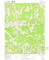
1960 Map of Gay
USGS Topo · Published 1979About this map
Gay and the surrounding hill country of Jackson County are defined by a network of steep ridges and narrow creek bottoms. The landscape is characterized by a high density of small family cemeteries and rural congregations, such as the Camelite Cem, Litton Cem, and Napier Chapel, which anchor the scattered communities. Along the winding Mill Creek, the settlement of Frozencamp serves as a local hub, featuring the Frozencamp Mill Creek Ch.
Find a feature on this map
78 named features on this map. Tap any name to fly to it.
Don’t see what you’re looking for? This feature index may not catch every label — zoom into the map to look around manually.
Map Details
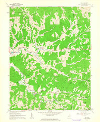
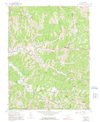
Editions of this 1960 Gay Map
3 editions found
Other maps of this area

1906 · Kenna
USGS Topo · 1:62,500

1906 · Walton
USGS Topo · 1:62,500

1907 · Kenna
USGS Topo · 1:62,500

1907 · Spencer
USGS Topo · 1:62,500

1907 · Walton
USGS Topo · 1:62,500

1907 · Ripley
USGS Topo · 1:62,500

1926 · Ripley
USGS Topo · 1:62,500

1928 · Spencer
USGS Topo · 1:62,500

1928 · Ripley
USGS Topo · 1:62,500

1954 · Charleston
USGS Topo · 1:250,000