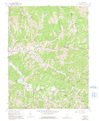
1960 Map of Gay
USGS Topo · Published 1991About this map
Frozencamp and the small settlement of Gay anchor this mid-century portrait of central West Virginia, where the landscape is defined by the winding paths of Mill Creek and Elk Fork. The map reveals a deeply etched topography of ridges and hollows, where family history is etched into the terrain through numerous small burying grounds like the Litton Cem and Beard Cem. The area’s rural social structure is visible through its distributed network of small country churches and schools, including Napier Chapel, Briscoe Ch, and the Victory Sch. While some industrial presence is noted via a pipeline and scattered oil wells, the map primarily illustrates a post-war rural economy tied to the land. From the heights of Marsh Hart Knob to the bottomlands of Harmon Creek, the survey documents the intricate drainage patterns and local roads that connected these isolated Appalachian communities during the 1950s and early 1960s.
Find a feature on this map
72 named features on this map. Tap any name to fly to it.
Don’t see what you’re looking for? This feature index may not catch every label — zoom into the map to look around manually.
Map Details
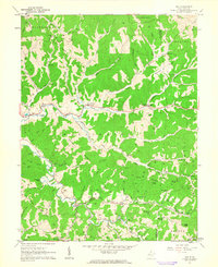
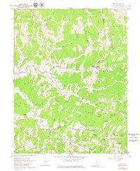
Editions of this 1960 Gay Map
3 editions found
Other maps of this area

1906 · Kenna
USGS Topo · 1:62,500

1906 · Walton
USGS Topo · 1:62,500

1907 · Kenna
USGS Topo · 1:62,500

1907 · Spencer
USGS Topo · 1:62,500

1907 · Walton
USGS Topo · 1:62,500

1907 · Ripley
USGS Topo · 1:62,500

1926 · Ripley
USGS Topo · 1:62,500

1928 · Spencer
USGS Topo · 1:62,500

1928 · Ripley
USGS Topo · 1:62,500

1954 · Charleston
USGS Topo · 1:250,000