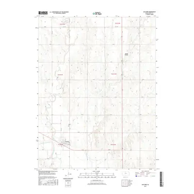
2015 Map of Gaylord
USGS Topo · Published 2015About this map
The North Fork Solomon River defines the southern reach of this Kansas landscape, where the settlement of Gaylord sits along the river's northern bank. This 2015 record shows the town’s established grid, including Main St, Gilman St, and Skinner St, providing a clear view of the community's layout near the water. North of the river, the terrain transitions into a series of drainage patterns formed by Spring Cr, W Beaver Cr, and Beaver Cr, which carve through the agricultural uplands.
Find a feature on this map
30 named features on this map. Tap any name to fly to it.
Don’t see what you’re looking for? This feature index may not catch every label — zoom into the map to look around manually.
Map Details
Editions of this 2015 Gaylord Map
This is the sole edition of this map. No revisions or reprints were ever made.
Other maps of this area
1893 · Smith Center
USGS Topo · 1:125,000
1955 · Beloit
USGS Topo · 1:250,000
1959 · Beloit
USGS Topo · 1:250,000
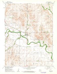
1961 · Portis
USGS Topo · 1:24,000
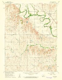
1961 · Harlan
USGS Topo · 1:24,000
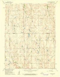
1961 · Gaylord SW
USGS Topo · 1:24,000
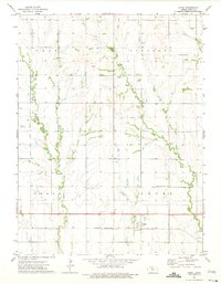
1973 · Athol
USGS Topo · 1:24,000
1973 · Cedar
USGS Topo · 1:24,000
1973 · Smith Center
USGS Topo · 1:24,000
1973 · Portis NW
USGS Topo · 1:24,000