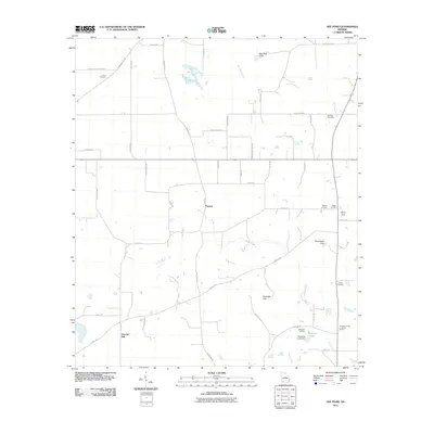
2011 Map of Gee Pond
USGS Topo · Published 2011About this map
Harrells Still and the small settlement of Pawnee anchor this rural Grady County landscape, where the agricultural grid is broken by a series of distinct geological depressions and sinks. Named features like Glory Hole, Chambless Sink, and Waterfall Sink indicate the porous karst topography common to this region of southern Georgia. These natural features exist alongside man-made water bodies such as Gee Pond and Whigham Lake, the latter held by the Whigham Lake Dam.
Find a feature on this map
54 named features on this map. Tap any name to fly to it.
Don’t see what you’re looking for? This feature index may not catch every label — zoom into the map to look around manually.
Map Details
Editions of this 2011 Gee Pond Map
This is the sole edition of this map. No revisions or reprints were ever made.
Other maps of this area

1953 · Dothan
USGS Topo · 1:250,000

1954 · Dothan
USGS Topo · 1:250,000

1954 · Tallahassee
USGS Topo · 1:250,000

1955 · Dothan
USGS Topo · 1:250,000

1955 · Whigham
USGS Topo · 1:62,500

1956 · Cairo
USGS Topo · 1:62,500

1959 · Tallahassee
USGS Topo · 1:250,000

1960 · Tallahassee
USGS Topo · 1:250,000

1971 · Gee Pond
USGS Topo · 1:24,000

1971 · Vada
USGS Topo · 1:24,000