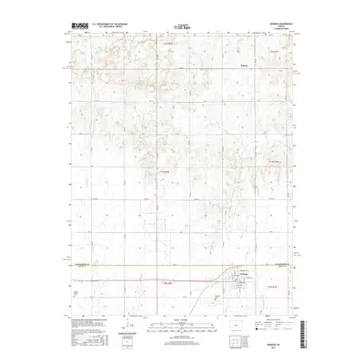
2015 Map of Geneseo
USGS Topo · Published 2015About this map
Geneseo sits at the intersection of a rigid section-line road network and several meandering watercourses in central Kansas. The town's detailed street grid includes McCracken Ave, Moderwill Ave, and Silver Ave, illustrating the planned residential layout of this Rice County community. To the north, the small settlement of Midway occupies the divide between Skunk Cr and Thompson Cr. The landscape is defined by the headwaters of the Little Arkansas River, which winds through the southern portion of the map. Local history is anchored by the Genesee Cem and the Kansas Center Cem, while the county boundary between Ellsworth Co and Rice Co runs east-to-west across the northern tiers, marking a formal division in this rural prairie terrain.
Find a feature on this map
42 named features on this map. Tap any name to fly to it.
Don’t see what you’re looking for? This feature index may not catch every label — zoom into the map to look around manually.
Map Details
Editions of this 2015 Geneseo Map
This is the sole edition of this map. No revisions or reprints were ever made.
Other maps of this area

1894 · Ellsworth
USGS Topo · 1:125,000

1894 · Lyons
USGS Topo · 1:125,000

1955 · Great Bend
USGS Topo · 1:250,000

1957 · Great Bend
USGS Topo · 1:250,000

1957 · Ellsworth
USGS Topo · 1:24,000
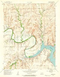
1957 · Carneiro
USGS Topo · 1:24,000

1957 · Holyrood NE
USGS Topo · 1:24,000

1958 · Great Bend
USGS Topo · 1:250,000
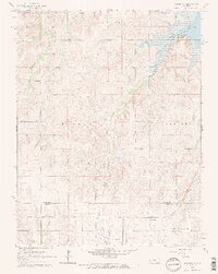
1964 · Crawford
USGS Topo · 1:24,000
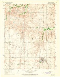
1964 · Geneseo
USGS Topo · 1:24,000