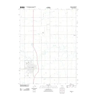
1969 Map of Geneva
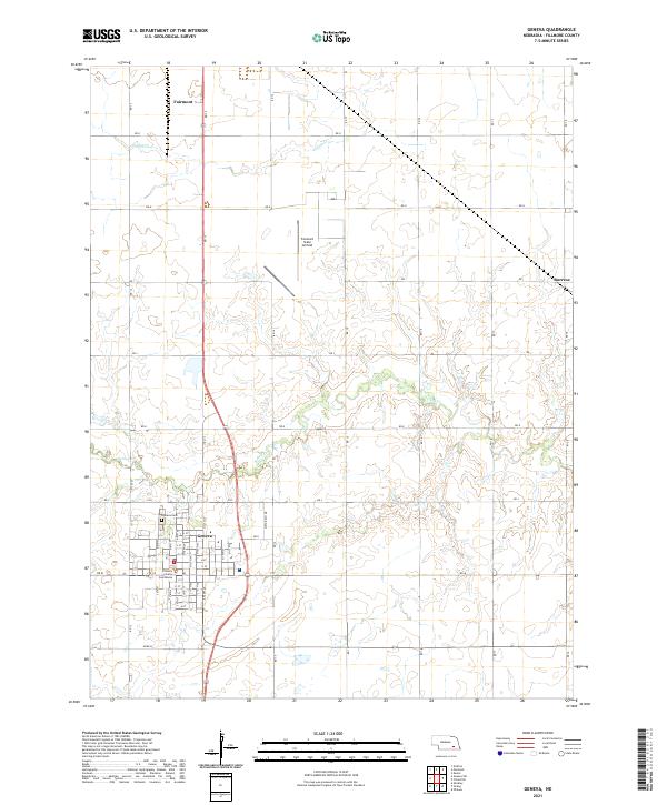
USGS Topo · Published 1971About this map
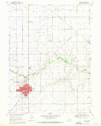
The county seat of Geneva serves as the central hub of this late-1960s Fillmore County landscape, defined by its rectilinear grid and the crossing of the Burlington Northern and Chicago and North Western railroads. As a regional administrative and social center, the town is home to the Courthouse, Hospital, and several religious educational institutions including Grace Sch and St Joseph Sch. North of the town center, the State Girls Training School stands as a significant institutional landmark, while the Fairmont State Airport occupies a large tract to the north.
Find a feature on this map
31 named features on this map. Tap any name to fly to it.
Don’t see what you’re looking for? This feature index may not catch every label — zoom into the map to look around manually.
Map Details
Editions of this 1969 Geneva Map
This is the sole edition of this map. No revisions or reprints were ever made.
Historical Maps of Geneva Through Time
5 maps found