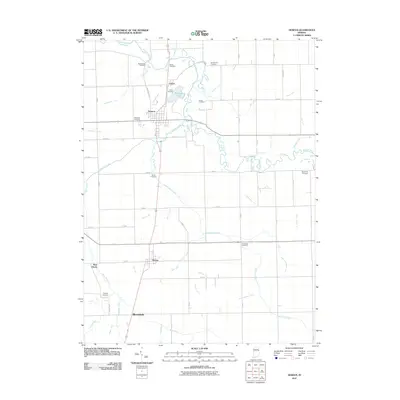
2011 Map of Geneva
USGS Topo · Published 2011About this map
Geneva and the surrounding farmland of Adams and Jay Counties are defined by an intricate network of drainage systems, such as Jamstutz Ditch and Engle Ditch, which support the region's agricultural productivity. The landscape is marked by numerous family and historic burial sites, including Studebaker Cemetery and Snow Cemetery, reflecting the deep-rooted settlement history of the area. The Wabash River meanders across the northern portion of the sheet, while Limberlost Creek flows through the central terrain, passing near the community of Bryant. Small clusters of development at Ceylon and West Liberty offer a glimpse into the distribution of rural hamlets during the early 21st century. Rainbow Lake serves as a prominent water feature just north of the Geneva town limits, providing a localized geographic landmark amidst the extensive grid of county roads.
Find a feature on this map
64 named features on this map. Tap any name to fly to it.
Don’t see what you’re looking for? This feature index may not catch every label — zoom into the map to look around manually.
Map Details
Editions of this 2011 Geneva Map
This is the sole edition of this map. No revisions or reprints were ever made.
Other maps of this area

1911 · Berne
USGS Topo · 1:48,000

1915 · Fort Recovery
USGS Topo · 1:48,000

1918 · Fort Recovery
USGS Topo · 1:62,500

1953 · Muncie
USGS Topo · 1:250,000

1956 · Muncie
USGS Topo · 1:250,000

1960 · Fort Recovery
USGS Topo · 1:24,000

1960 · Blaine
USGS Topo · 1:24,000
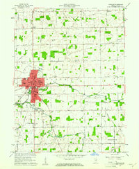
1960 · Portland
USGS Topo · 1:24,000
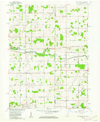
1960 · New Corydon
USGS Topo · 1:24,000
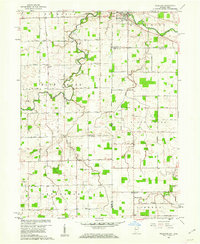
1960 · Willshire
USGS Topo · 1:24,000