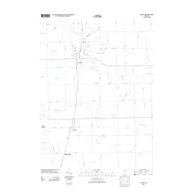
2013 Map of Geneva
USGS Topo · Published 2013About this map
The Wabash River and Limberlost Cr define the hydrological character of this eastern Indiana landscape, where an extensive network of drainage features like Glendenning Ditch and Leichty Ditch supports the surrounding agricultural plains. The town of Geneva serves as a central hub, flanked by the smaller communities of Ceylon to the north and Bryant to the south. Local history is etched into the grid by numerous family-named watercourses, including Barr Ditch, Davidson Ditch, and Goss Switzer Ditch.
Find a feature on this map
65 named features on this map. Tap any name to fly to it.
Don’t see what you’re looking for? This feature index may not catch every label — zoom into the map to look around manually.
Map Details
Editions of this 2013 Geneva Map
This is the sole edition of this map. No revisions or reprints were ever made.
Other maps of this area

1911 · Berne
USGS Topo · 1:48,000

1915 · Fort Recovery
USGS Topo · 1:48,000

1918 · Fort Recovery
USGS Topo · 1:62,500

1953 · Muncie
USGS Topo · 1:250,000

1956 · Muncie
USGS Topo · 1:250,000

1960 · Fort Recovery
USGS Topo · 1:24,000

1960 · Blaine
USGS Topo · 1:24,000
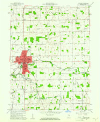
1960 · Portland
USGS Topo · 1:24,000
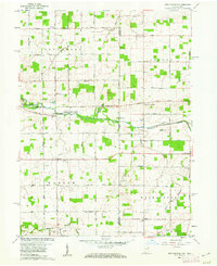
1960 · New Corydon
USGS Topo · 1:24,000
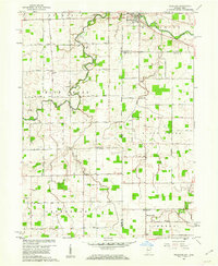
1960 · Willshire
USGS Topo · 1:24,000