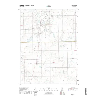
2019 Map of Geneva
USGS Topo · Published 2019About this map
The Wabash River and Limberlost Cr define the drainage of this northeastern Indiana landscape, where the town of Geneva serves as the primary settlement. The terrain is marked by an extensive network of managed waterways, including Glendenning Ditch, Leichty Ditch, and Loblolly Creek, which are critical to the agricultural productivity of the region. These ditches demonstrate the historical effort to reclaim and manage the low-lying wetlands that once characterized the area. Genealogists and local historians will find numerous family-associated burial grounds, such as Studebaker Cem, Snow Cem, and Collins Cem, scattered near the smaller communities of Ceylon and Bryant. The presence of the Rainbow Bottoms natural area and the Limberlost Co Park Trail highlights the modern preservation of portions of the original environment alongside the established grid of county roads that connects West Liberty and Bloomfield.
Find a feature on this map
73 named features on this map. Tap any name to fly to it.
Don’t see what you’re looking for? This feature index may not catch every label — zoom into the map to look around manually.
Map Details
Editions of this 2019 Geneva Map
This is the sole edition of this map. No revisions or reprints were ever made.
Other maps of this area
1911 · Berne
USGS Topo · 1:48,000
1915 · Fort Recovery
USGS Topo · 1:48,000
1918 · Fort Recovery
USGS Topo · 1:62,500
1953 · Muncie
USGS Topo · 1:250,000
1956 · Muncie
USGS Topo · 1:250,000
1960 · Fort Recovery
USGS Topo · 1:24,000
1960 · Blaine
USGS Topo · 1:24,000
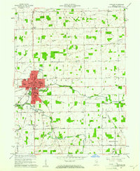
1960 · Portland
USGS Topo · 1:24,000
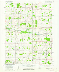
1960 · New Corydon
USGS Topo · 1:24,000
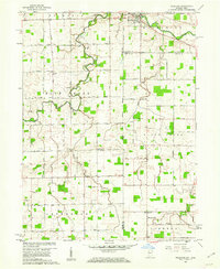
1960 · Willshire
USGS Topo · 1:24,000