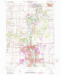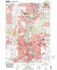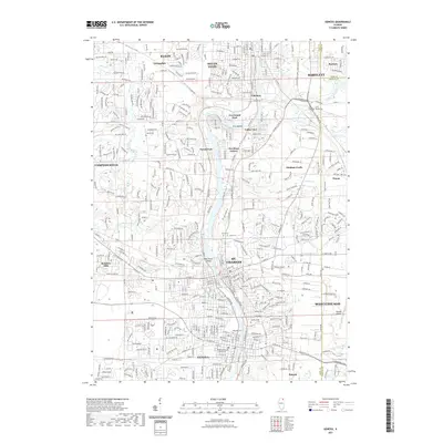
1993 Map of Geneva
USGS Topo · Published 1994About this map
The Fox River carves a central path through this landscape, defining the interconnected development of St Charles and Geneva. By the early 1990s, the corridor shows a dense suburban fabric punctuated by extensive conservation lands like the LeRoy Oaks County Forest Preserve and Fabyan Forest Preserve. The map illustrates the industrial and commercial footprint of the era, from the St Charles Mall to the sprawling Du Page County Airport on the eastern edge. Local history is anchored by numerous institutions, including St Patrick Ch and the Anderson Sch, while the Chicago and North Western railroad tracks trace the historical transportation routes that fueled these river towns. Small settlements like Valley View and Novak Park appear along the river's bends, highlighting the residential growth between the primary municipal centers.
Find a feature on this map
81 named features on this map. Tap any name to fly to it.
Don’t see what you’re looking for? This feature index may not catch every label — zoom into the map to look around manually.
Map Details
Editions of this 1993 Geneva Map
This is the sole edition of this map. No revisions or reprints were ever made.
Historical Maps of Elgin Through Time
11 maps found