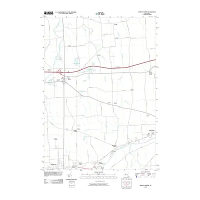
2010 Map of Geneva North
USGS Topo · Published 2010About this map
The Seneca River winds through the southern landscape of this 2010 survey, connecting the historic waterfronts of Geneva and Waterloo. The area is characterized by a high density of rural burial grounds, including the Southwick Cemetery near Dublin and the Quaker Cemetery further south, providing valuable data points for local genealogists. Between these settlements, the terrain is marked by a network of small water bodies like the Junius Ponds and Bullhead Pond, while the Canandaigua Outlet flows along the western edge.
Find a feature on this map
77 named features on this map. Tap any name to fly to it.
Don’t see what you’re looking for? This feature index may not catch every label — zoom into the map to look around manually.
Map Details
Editions of this 2010 Geneva North Map
This is the sole edition of this map. No revisions or reprints were ever made.
Other maps of this area

1899 · Palmyra
USGS Topo · 1:62,500

1902 · Geneva
USGS Topo · 1:62,500

1902 · Clyde
USGS Topo · 1:62,500

1902 · Phelps
USGS Topo · 1:62,500

1902 · Palmyra
USGS Topo · 1:62,500

1942 · Stanley
USGS Topo · 1:31,680

1943 · Lyons
USGS Topo · 1:31,680

1943 · Geneva North
USGS Topo · 1:31,680

1943 · Geneva South
USGS Topo · 1:31,680

1943 · Phelps
USGS Topo · 1:31,680