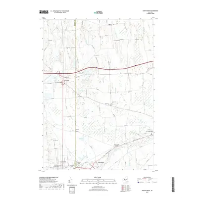
2019 Map of Geneva North
USGS Topo · Published 2019About this map
The boundary between Ontario and Seneca Counties bisects this landscape, marked largely by Pre Emption St, where agricultural fields meet the growing fringes of Geneva. The southern portion of the map is anchored by the Seneca River and the industrial and residential pockets of Border City and East Geneva. Notable for the local historian is the density of small family and community burial grounds, such as Quaker Cem and Bowdish Cem, which pepper the rural countryside.
Find a feature on this map
96 named features on this map. Tap any name to fly to it.
Don’t see what you’re looking for? This feature index may not catch every label — zoom into the map to look around manually.
Map Details
Editions of this 2019 Geneva North Map
This is the sole edition of this map. No revisions or reprints were ever made.
Other maps of this area

1899 · Palmyra
USGS Topo · 1:62,500

1902 · Geneva
USGS Topo · 1:62,500

1902 · Clyde
USGS Topo · 1:62,500

1902 · Phelps
USGS Topo · 1:62,500

1902 · Palmyra
USGS Topo · 1:62,500

1942 · Stanley
USGS Topo · 1:31,680

1943 · Lyons
USGS Topo · 1:31,680

1943 · Geneva North
USGS Topo · 1:31,680

1943 · Geneva South
USGS Topo · 1:31,680

1943 · Phelps
USGS Topo · 1:31,680