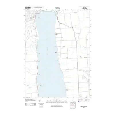
2010 Map of Geneva South
USGS Topo · Published 2010About this map
The southern reaches of Geneva and the expansive waters of Seneca Lake anchor this 2010 study of the Finger Lakes region. Along the western shore, the landscape transition from the city to the hamlet of Billsboro is marked by a series of prominent lakefront features, including Glass Factory Bay, Clark Point, and Kashong Point. The map provides significant genealogical value, documenting several local burial grounds such as Saint Patrick's Roman Catholic Cemetery, Washington Street Cemetery, and the West Fayette Cemetery to the east.
Find a feature on this map
72 named features on this map. Tap any name to fly to it.
Don’t see what you’re looking for? This feature index may not catch every label — zoom into the map to look around manually.
Map Details
Editions of this 2010 Geneva South Map
This is the sole edition of this map. No revisions or reprints were ever made.
Other maps of this area

1902 · Geneva
USGS Topo · 1:62,500

1902 · Phelps
USGS Topo · 1:62,500

1902 · Ovid
USGS Topo · 1:62,500

1903 · Penn Yan
USGS Topo · 1:62,500

1942 · Penn Yan
USGS Topo · 1:31,680

1942 · Ovid
USGS Topo · 1:31,680

1942 · Stanley
USGS Topo · 1:31,680

1943 · Dresden
USGS Topo · 1:31,680

1943 · Geneva North
USGS Topo · 1:31,680

1943 · Geneva South
USGS Topo · 1:31,680