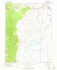
1968 Map of Genoa
USGS Topo · Published 1972About this map
Genoa sits at the foot of the Carson Range within the Toiyabe National Forest, marking a historic settlement point in the Eagle Valley region during the late 1960s. The landscape transition from the steep canyons of the Sierra and Schoolhouse into the alluvial floor of Jacks Valley and the Carson River basin is punctuated by early Nevada history. Significant local sites include the Marmon Station Historic State Mon and the Stewart Indian School to the north. Water management is a defining characteristic of the valley floor, visible through the complex of Williams Slough, various aqueducts, and Ambrosetti Pond. Industrial and institutional footprints are also evident, from the Nevada State Prison Railroad to the Ormsby County Farm, alongside natural features like Hobo Hot Springs.
Find a feature on this map
54 named features on this map. Tap any name to fly to it.
Don’t see what you’re looking for? This feature index may not catch every label — zoom into the map to look around manually.
Map Details
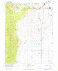
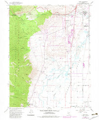
Editions of this 1968 Genoa Map
3 editions found
Other maps of this area

1889 · Markleeville
USGS Topo · 1:125,000

1891 · Carson
USGS Topo · 1:125,000

1891 · Markleeville
USGS Topo · 1:125,000

1893 · Carson
USGS Topo · 1:125,000

1893 · Markleeville
USGS Topo · 1:125,000

1948 · Walker Lake
USGS Topo · 1:250,000

1955 · Bijou
USGS Topo · 1:24,000

1955 · Marlette Lake
USGS Topo · 1:24,000

1955 · Glenbrook
USGS Topo · 1:24,000

1956 · Freel Peak
USGS Topo · 1:62,500