
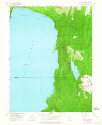
1955 Map of Marlette Lake
USGS Topo · Published 1957About this map
The eastern shores of Lake Tahoe define this mid-1950s survey, highlighting the critical alpine water infrastructure supporting Nevada's historical mining regions. The Virginia City Water Supply Flume and a general Water Supply Flume trace the steep contours of the Toiyabe National Forest, connecting high-elevation sources like Marlette Lake and Marlette Reservoir to distant communities. This system of flumes and siphons represents a significant engineering feat of the Comstock era, designed to move water across the Sierra Nevada.
Find a feature on this map
29 named features on this map. Tap any name to fly to it.
Don’t see what you’re looking for? This feature index may not catch every label — zoom into the map to look around manually.
Map Details
Editions of this 1955 Marlette Lake Map
4 editions found
Other maps of this area

1891 · Carson
USGS Topo · 1:125,000

1891 · Truckee
USGS Topo · 1:125,000

1893 · Carson
USGS Topo · 1:125,000

1893 · Truckee
USGS Topo · 1:125,000

1895 · Truckee
USGS Topo · 1:125,000

1932 · Truckee
USGS Topo · 1:96,000

1940 · Truckee
USGS Topo · 1:125,000

1950 · Mt. Rose
USGS Topo · 1:62,500

1952 · Mt. Rose
USGS Topo · 1:62,500
1955 · Meeks Bay
USGS Topo · 1:24,000