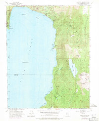
1955 Map of Marlette Lake
USGS Topo · Published 1971About this map
Lake Tahoe dominates the western half of this survey, where the Nevada-California boundary intersects the shoreline at Stateline Pt. The eastern shore transitions from the emerging residential footprint of Incline Village and Crystal Bay to the protected wildlands of Toiyabe National Forest. This 1955 map, revised in 1969, captures a pivotal moment when seasonal recreation and infrastructure began to define the basin's development. Notable utility and community landmarks include the Incline Guard Sta, a Sewage Disposal site, and the Incline Golf Course. High above the main lake, Marlette Lake and the Marlette Reservoir sit in a high basin between Marlette Peak and Snow Valley Peak, connected to the lower elevations by an aqueduct and a tunnel. This water system, historically vital for silver mining operations in nearby districts, remains a prominent engineering feature on the landscape.
Find a feature on this map
43 named features on this map. Tap any name to fly to it.
Don’t see what you’re looking for? This feature index may not catch every label — zoom into the map to look around manually.
Map Details
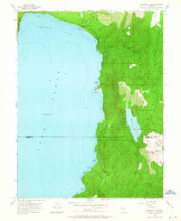
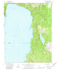
Editions of this 1955 Marlette Lake Map
4 editions found

Other maps of this area

1891 · Carson
USGS Topo · 1:125,000

1891 · Truckee
USGS Topo · 1:125,000

1893 · Carson
USGS Topo · 1:125,000

1893 · Truckee
USGS Topo · 1:125,000

1895 · Truckee
USGS Topo · 1:125,000

1932 · Truckee
USGS Topo · 1:96,000

1940 · Truckee
USGS Topo · 1:125,000

1950 · Mt. Rose
USGS Topo · 1:62,500

1952 · Mt. Rose
USGS Topo · 1:62,500
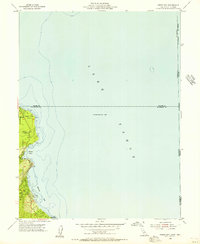
1955 · Meeks Bay
USGS Topo · 1:24,000