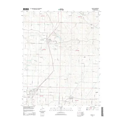
2014 Map of Gentry
USGS Topo · Published 2014About this map
Decatur and Gentry anchor this western Benton County landscape, joined by the north-south corridor of the Kansas City Southern railroad. The terrain is defined by a dense network of tributaries including Wolf Cr, Little Flint Cr, and S Prong Spavinaw Cr, which carve out several named hollows such as Coon Hollow and Grape Hollow. Local aviation is represented by Crystal Lake Airport, situated just north of Crystal Lake itself.
Find a feature on this map
131 named features on this map. Tap any name to fly to it.
Don’t see what you’re looking for? This feature index may not catch every label — zoom into the map to look around manually.
Map Details
Editions of this 2014 Gentry Map
This is the sole edition of this map. No revisions or reprints were ever made.
Other maps of this area

1899 · Fayetteville
USGS Topo · 1:125,000

1899 · Siloam Springs
USGS Topo · 1:125,000

1901 · Fayetteville
USGS Topo · 1:125,000

1903 · Siloam Springs
USGS Topo · 1:125,000

1904 · Siloam Springs
USGS Topo · 1:125,000

1904 · Fayetteville
USGS Topo · 1:125,000

1954 · Tulsa
USGS Topo · 1:250,000

1958 · Tulsa
USGS Topo · 1:250,000

1963 · Tulsa
USGS Topo · 1:250,000

1970 · Gallatin
USGS Topo · 1:24,000