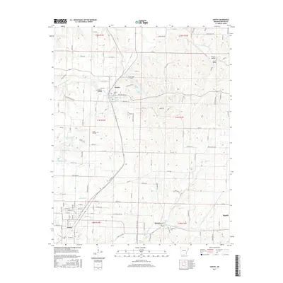
2017 Map of Gentry
USGS Topo · Published 2017About this map
Decatur and Gentry anchor this survey of Benton County's agricultural and aviation landscape during the mid-2010s. The Kansas City Southern RR serves as a primary north-south spine through the territory, linking these established communities while passing through notable terrain features like Coon Hollow and Columbia Hollow. Local history is preserved in the location of several burial grounds, including Decatur Cem, Springtown Cem, and Gentry Cem, which are interspersed among the town grids and rural crossings.
Find a feature on this map
125 named features on this map. Tap any name to fly to it.
Don’t see what you’re looking for? This feature index may not catch every label — zoom into the map to look around manually.
Map Details
Editions of this 2017 Gentry Map
This is the sole edition of this map. No revisions or reprints were ever made.
Other maps of this area

1899 · Fayetteville
USGS Topo · 1:125,000

1899 · Siloam Springs
USGS Topo · 1:125,000

1901 · Fayetteville
USGS Topo · 1:125,000

1903 · Siloam Springs
USGS Topo · 1:125,000

1904 · Siloam Springs
USGS Topo · 1:125,000

1904 · Fayetteville
USGS Topo · 1:125,000

1954 · Tulsa
USGS Topo · 1:250,000

1958 · Tulsa
USGS Topo · 1:250,000

1963 · Tulsa
USGS Topo · 1:250,000

1970 · Gallatin
USGS Topo · 1:24,000