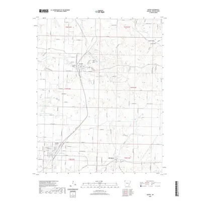
2020 Map of Gentry
USGS Topo · Published 2020About this map
Gentry and Decatur anchor this portion of Benton County, where the agricultural landscape meets the infrastructure of the Kansas City Southern railroad. The terrain is defined by a network of drainage systems, including Little Flint Cr and the waters of Crystal Lake, providing a clear view of the region's physical geography. To the east, Springtown sits near the headwaters of Flint Cr and the notable Big Spring, marking a transition toward more varied topography.
Find a feature on this map
133 named features on this map. Tap any name to fly to it.
Don’t see what you’re looking for? This feature index may not catch every label — zoom into the map to look around manually.
Map Details
Editions of this 2020 Gentry Map
This is the sole edition of this map. No revisions or reprints were ever made.
Other maps of this area

1899 · Fayetteville
USGS Topo · 1:125,000

1899 · Siloam Springs
USGS Topo · 1:125,000

1901 · Fayetteville
USGS Topo · 1:125,000

1903 · Siloam Springs
USGS Topo · 1:125,000

1904 · Siloam Springs
USGS Topo · 1:125,000

1904 · Fayetteville
USGS Topo · 1:125,000

1954 · Tulsa
USGS Topo · 1:250,000

1958 · Tulsa
USGS Topo · 1:250,000

1963 · Tulsa
USGS Topo · 1:250,000

1970 · Gallatin
USGS Topo · 1:24,000