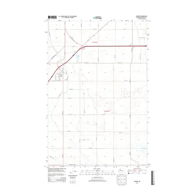
2014 Map of George
USGS Topo · Published 2014About this map
George sits at the northern edge of this arid Grant County plateau, organized around a rigid grid of residential streets like W Montgomerey Blvd and Wild Cherry Ave. The surrounding landscape is defined by the high-desert geometry of the Columbia Basin, where long, straight agricultural corridors like W Baseline Rd and Frenchman Hills Rd segment the terrain into precise townships. Near the junction of State Highway 281 Alt, the small basins of George Lake and Martha Lake provide a rare hydrological break in a territory dominated by sagebrush and systematic irrigation. To the west, the tiny settlement of Burke serves as a waypoint along Beverly Burke Rd N, illustrating the sparse, transport-dependent nature of central Washington’s rural development during this era.
Find a feature on this map
44 named features on this map. Tap any name to fly to it.
Don’t see what you’re looking for? This feature index may not catch every label — zoom into the map to look around manually.
Map Details
Editions of this 2014 George Map
This is the sole edition of this map. No revisions or reprints were ever made.
Other maps of this area
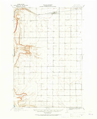
1909 · Quincy
USGS Topo · 1:62,500
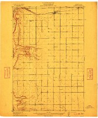
1910 · Quincy
USGS Topo · 1:62,500
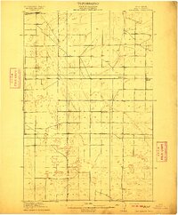
1910 · Winchester
USGS Topo · 1:62,500
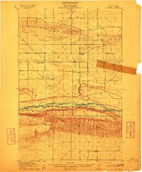
1911 · Red Rock
USGS Topo · 1:62,500
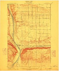
1912 · Beverly
USGS Topo · 1:62,500
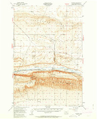
1950 · Smyrna
USGS Topo · 1:62,500
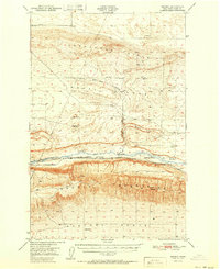
1951 · Smyrna
USGS Topo · 1:62,500
1953 · Walla Walla
USGS Topo · 1:250,000
1953 · Ritzville
USGS Topo · 1:250,000
1954 · Beverly NE
USGS Topo · 1:24,000