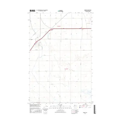
2017 Map of George
USGS Topo · Published 2017About this map
George sits at the intersection of local grid roads and regional transit in this high-desert landscape of Grant County. The settlement layout is defined by streets such as Washington Way and E Montgomery Blvd, surrounded by an extensive network of numbered section roads like Rd 2 NW and Rd 1 SW. This geometric organization reflects the systematic irrigation and agricultural development characteristic of the Columbia Basin Project area, where the desert was transformed into productive land through precise surveying and water management.
Find a feature on this map
35 named features on this map. Tap any name to fly to it.
Don’t see what you’re looking for? This feature index may not catch every label — zoom into the map to look around manually.
Map Details
Editions of this 2017 George Map
This is the sole edition of this map. No revisions or reprints were ever made.
Other maps of this area

1909 · Quincy
USGS Topo · 1:62,500

1910 · Quincy
USGS Topo · 1:62,500

1910 · Winchester
USGS Topo · 1:62,500

1911 · Red Rock
USGS Topo · 1:62,500

1912 · Beverly
USGS Topo · 1:62,500

1950 · Smyrna
USGS Topo · 1:62,500

1951 · Smyrna
USGS Topo · 1:62,500

1953 · Walla Walla
USGS Topo · 1:250,000

1953 · Ritzville
USGS Topo · 1:250,000

1954 · Beverly NE
USGS Topo · 1:24,000