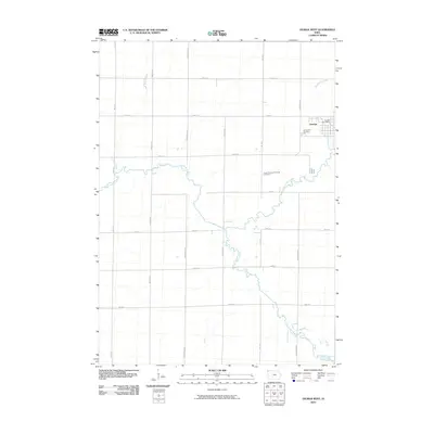
2010 Map of George West
USGS Topo · Published 2010About this map
George sits at the northeastern edge of this prairie landscape, where the Little Rock River and its various tributaries define the rural layout. The town itself is anchored by the George Post Office and the Evergreen Cemetery, while further west, the Hope Reformed Church Cemetery serves as a localized landmark for the surrounding farming community. This 2010 depiction illustrates the precision of the section-line road system, with numbered streets like 200th St and named avenues such as Ironwood Ave and Jay Ave carving the terrain into a clean grid. The hydrology is dominated by the meandering paths of Otter Creek, Emery Creek, and the curiously named Rio Grande Creek, which cut through the agricultural blocks. This map captures the late-20th-century development of the Lyon County interior, showing how modern infrastructure respects the original 19th-century land divisions.
Find a feature on this map
21 named features on this map. Tap any name to fly to it.
Don’t see what you’re looking for? This feature index may not catch every label — zoom into the map to look around manually.
Map Details
Editions of this 2010 George West Map
This is the sole edition of this map. No revisions or reprints were ever made.
Other maps of this area

1954 · Fairmont
USGS Topo · 1:250,000

1955 · Sioux Falls
USGS Topo · 1:250,000

1958 · Sioux Falls
USGS Topo · 1:250,000

1958 · Fairmont
USGS Topo · 1:250,000

1964 · Matlock
USGS Topo · 1:24,000

1964 · Boyden
USGS Topo · 1:24,000

1964 · Hull
USGS Topo · 1:24,000

1971 · Edna
USGS Topo · 1:24,000

1971 · George West
USGS Topo · 1:24,000

1971 · Rock Rapids
USGS Topo · 1:24,000