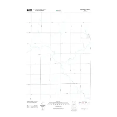
2013 Map of George West
USGS Topo · Published 2013About this map
George sits in the northeastern corner of this landscape, its residential grid centered on S Main St and W Michigan Ave. This portion of Lyon County is defined by a deep agricultural grid of section roads like Indian Ave and Ironwood Ave, which partition the drainage basins of several meandering watercourses. The Little Rock River cuts diagonally across the center of the sheet, joined by smaller tributaries including Otter Cr and Emery Cr. A notable local landmark, Hillside Dairy, is situated just west of the river along the bend of Indian Ave. The terrain is characteristic of the Iowa plains, where the natural wandering of the Rio Grande Cr contrasts with the rigid North-South and East-West orientation of the county's infrastructure and land use.
Find a feature on this map
24 named features on this map. Tap any name to fly to it.
Don’t see what you’re looking for? This feature index may not catch every label — zoom into the map to look around manually.
Map Details
Editions of this 2013 George West Map
This is the sole edition of this map. No revisions or reprints were ever made.
Other maps of this area

1954 · Fairmont
USGS Topo · 1:250,000

1955 · Sioux Falls
USGS Topo · 1:250,000

1958 · Sioux Falls
USGS Topo · 1:250,000

1958 · Fairmont
USGS Topo · 1:250,000

1964 · Matlock
USGS Topo · 1:24,000

1964 · Boyden
USGS Topo · 1:24,000

1964 · Hull
USGS Topo · 1:24,000

1971 · Edna
USGS Topo · 1:24,000

1971 · George West
USGS Topo · 1:24,000

1971 · Rock Rapids
USGS Topo · 1:24,000