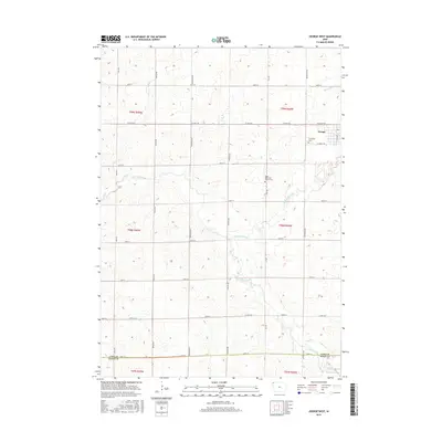
2015 Map of George West
USGS Topo · Published 2015About this map
George sits in the northeast corner of this Lyon County landscape, where the town's residential grid meets the meandering path of the Little Rock River. This area is defined by a highly structured section-line road network, including north-south corridors like Ironwood Ave and Jay Ave, which organize the agricultural terrain. The map records important community landmarks for genealogists, such as Evergreen Cem on the edge of town and the Hope Reformed Church Cem located further south along the river. This western Iowa prairie is drained by a network of waterways including Otter Creek and Emery Cr, while the southern boundary follows the line between Lyon Co and Sioux Co. The survey captures the intersection of rural township life and small-town development in the early 21st century.
Find a feature on this map
34 named features on this map. Tap any name to fly to it.
Don’t see what you’re looking for? This feature index may not catch every label — zoom into the map to look around manually.
Map Details
Editions of this 2015 George West Map
This is the sole edition of this map. No revisions or reprints were ever made.
Other maps of this area

1954 · Fairmont
USGS Topo · 1:250,000

1955 · Sioux Falls
USGS Topo · 1:250,000

1958 · Sioux Falls
USGS Topo · 1:250,000

1958 · Fairmont
USGS Topo · 1:250,000

1964 · Matlock
USGS Topo · 1:24,000

1964 · Boyden
USGS Topo · 1:24,000

1964 · Hull
USGS Topo · 1:24,000

1971 · Edna
USGS Topo · 1:24,000

1971 · George West
USGS Topo · 1:24,000

1971 · Rock Rapids
USGS Topo · 1:24,000