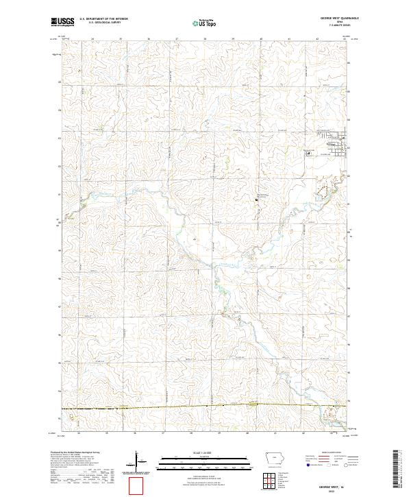
2022 Map of George West
USGS Topo · Published 2022About this map
The town of George anchors the northeastern portion of this topographic survey, serving as a hub for the surrounding agricultural landscape of northwest Iowa. The terrain is defined by the winding course of the Little Rock River and its tributaries, including Otter Creek and Rio Grande Cr. These waterways cut through the sectioned farmland, creating the subtle drainage patterns that have shaped local field boundaries for generations. Along the township lines, rural landmarks like Evergreen Cem and the Hope Reformed Church Cem provide points of interest for genealogists and local historians tracking early settlement patterns in the region.
Find a feature on this map
35 named features on this map. Tap any name to fly to it.
Don’t see what you’re looking for? This feature index may not catch every label — zoom into the map to look around manually.
Map Details
Editions of this 2022 George West Map
This is the sole edition of this map. No revisions or reprints were ever made.
Other maps of this area

1954 · Fairmont
USGS Topo · 1:250,000

1955 · Sioux Falls
USGS Topo · 1:250,000

1958 · Sioux Falls
USGS Topo · 1:250,000

1958 · Fairmont
USGS Topo · 1:250,000

1964 · Matlock
USGS Topo · 1:24,000

1964 · Boyden
USGS Topo · 1:24,000

1964 · Hull
USGS Topo · 1:24,000

1971 · Edna
USGS Topo · 1:24,000

1971 · George West
USGS Topo · 1:24,000

1971 · Rock Rapids
USGS Topo · 1:24,000