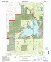
1996 Map of Georgetown Lake
USGS Topo · Published 1998About this map
Georgetown Lake dominates this high-country landscape on the border of Granite and Deer Lodge counties. In the late twentieth century, the area served as a focal point for recreation and water management within the Deerlodge National Forest. The map details an extensive infrastructure of boat launches and marinas, such as Stuarts Marina and Georgetown Lake Marina, alongside unique land-use features like the Haggin Dude Ranch and Camp Lahepia.
Find a feature on this map
46 named features on this map. Tap any name to fly to it.
Don’t see what you’re looking for? This feature index may not catch every label — zoom into the map to look around manually.
Map Details
Editions of this 1996 Georgetown Lake Map
This is the sole edition of this map. No revisions or reprints were ever made.
Other maps of this area

1908 · Philipsburg
USGS Topo · 1:125,000

1947 · Butte
USGS Topo · 1:250,000

1958 · Butte
USGS Topo · 1:250,000

1960 · Butte
USGS Topo · 1:250,000

1962 · Butte
USGS Topo · 1:250,000

1971 · Georgetown Lake
USGS Topo · 1:24,000

1971 · Antelope Creek
USGS Topo · 1:24,000

1971 · Potato Lakes
USGS Topo · 1:24,000
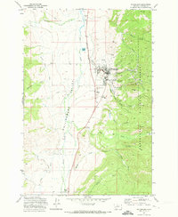
1971 · Philipsburg
USGS Topo · 1:24,000
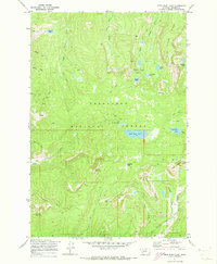
1971 · Fred Burr Lake
USGS Topo · 1:24,000