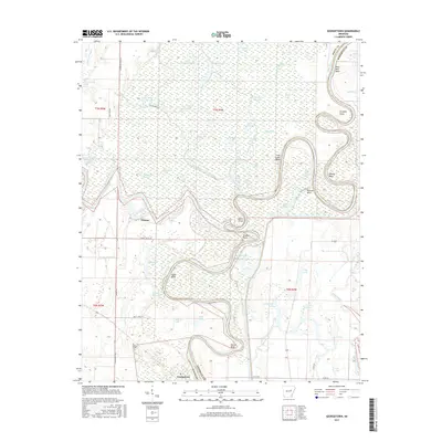
2017 Map of Georgetown
USGS Topo · Published 2017About this map
The confluence of the White River and the Little Red River dominates this landscape on the border of White and Woodruff counties. The terrain is defined by a dense network of oxbow lakes, sloughs, and winding river bends, including the prominent Devils Elbow and Postal Bend. The settlement of Georgetown sits at the southern edge of this hydrological labyrinth, while the smaller community of Nimmo lies to the northwest. Local family and place names are preserved in features like Cypert's Bluff and the Nelson Cem, reflecting the deep-rooted history of this riverine environment. Numerous isolated water bodies such as Big Hurricane Lake and Three Sisters Lake dot the wetlands, illustrating the shifting path of the river over time. The map also records rural infrastructure like Britt Lake Rd and Heathcote Rd, which provide access through the bottomlands.
Find a feature on this map
64 named features on this map. Tap any name to fly to it.
Don’t see what you’re looking for? This feature index may not catch every label — zoom into the map to look around manually.
Map Details
Editions of this 2017 Georgetown Map
This is the sole edition of this map. No revisions or reprints were ever made.
Other maps of this area
1932 · Kensett
USGS Topo · 1:62,500
1935 · Kensett
USGS Topo · 1:62,500
1935 · Augusta
USGS Topo · 1:62,500
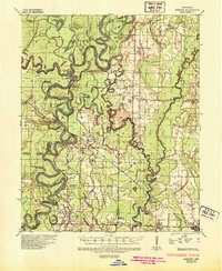
1935 · Gregory
USGS Topo · 1:62,500
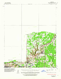
1935 · Bald Knob
USGS Topo · 1:62,500

1953 · Memphis
USGS Topo · 1:250,000
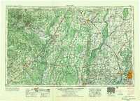
1956 · Memphis
USGS Topo · 1:250,000
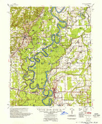
1957 · Augusta
USGS Topo · 1:62,500
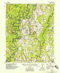
1957 · Gregory
USGS Topo · 1:62,500
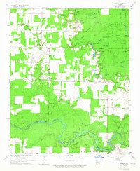
1964 · Jasmine
USGS Topo · 1:24,000