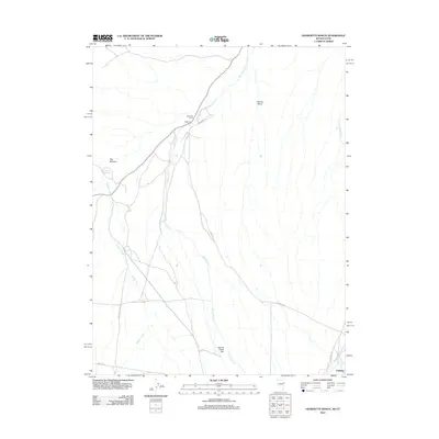
2012 Map of Georgetta Ranch
USGS Topo · Published 2012About this map
Georgetta Ranch and the nearby settlement of Eightmile anchor this arid landscape at the border of Nevada and Utah. The map details a network of vital water sources in an otherwise dry basin, including the Goshute Reservoir and the divergent paths of West Deep Creek and East Deep Creek. These watercourses define the habitable zones of Round Valley and the expansive Spring Creek Flat, where agriculture and ranching have historically depended on seasonal flows from Spring Creek and Weaver Creek. The infrastructure here is marked by utilitarian naming conventions that reflect the region's ranching heritage, seen in roads like 8 Mile Rd and Whiskey Rd. To the south, the community of Goshute sits near the intersection of Cemetery Rd and Fifteenmile Creek, providing a contemporary view of this high-desert tribal and ranching hub.
Find a feature on this map
17 named features on this map. Tap any name to fly to it.
Don’t see what you’re looking for? This feature index may not catch every label — zoom into the map to look around manually.
Map Details
Editions of this 2012 Georgetta Ranch Map
This is the sole edition of this map. No revisions or reprints were ever made.
Other maps of this area
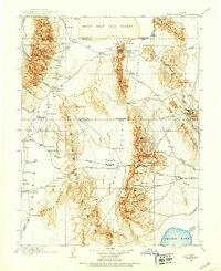
1908 · Fish Springs
USGS Topo · 1:250,000
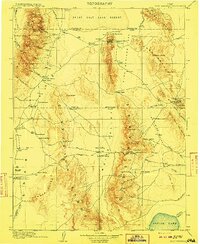
1910 · Fish Springs
USGS Topo · 1:250,000
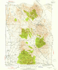
1925 · Gold Hill
USGS Topo · 1:62,500
1928 · Gold Hill
USGS Topo · 1:62,500
1953 · Tooele
USGS Topo · 1:250,000
1953 · Delta
USGS Topo · 1:250,000
1955 · Tooele
USGS Topo · 1:250,000
1955 · Elko
USGS Topo · 1:250,000
1956 · Ely
USGS Topo · 1:250,000
1958 · Elko
USGS Topo · 1:250,000