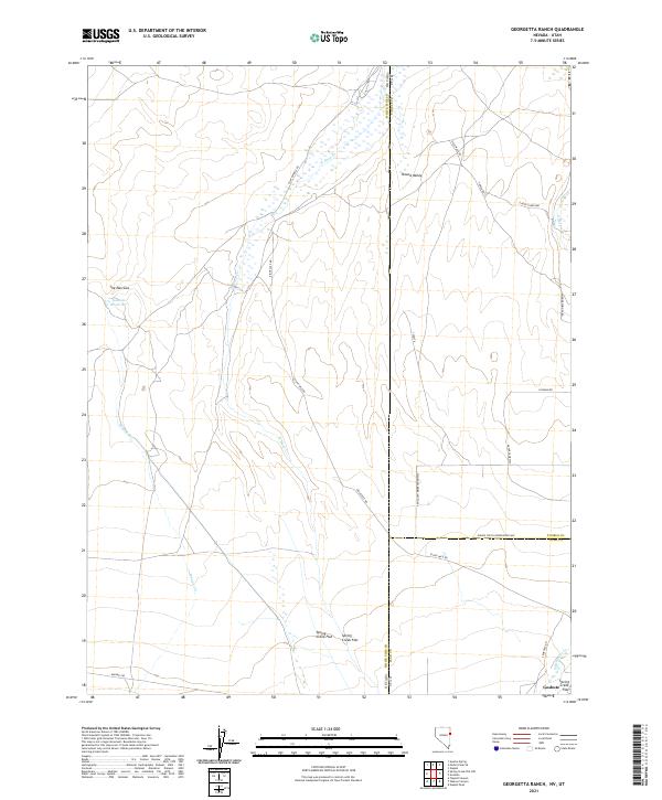
2021 Map of Georgetta Ranch
USGS Topo · Published 2021About this map
The Pony Express Rd cuts through this high desert terrain, tracing a corridor of deep historical significance across the border between Nevada and Utah. The landscape is defined by broad alluvial features like Spring Creek Flat and Round Valley, bounded by the constricted passage of The Narrows to the west. Water management is central to the area's utility, evidenced by the Goshute Reservoir and the drainage of W Deep Cr. The map reveals a network of utilitarian routes such as Eight Mile Rd and Skinner Springs Rd that serve the remote Goshute lands. The proximity of Cemetery Rd and Whiskey Rd suggests the enduring traces of small-scale settlement and local transit in this arid borderland where White Pine County, Nevada meets the Utah line.
Find a feature on this map
29 named features on this map. Tap any name to fly to it.
Don’t see what you’re looking for? This feature index may not catch every label — zoom into the map to look around manually.
Map Details
Editions of this 2021 Georgetta Ranch Map
This is the sole edition of this map. No revisions or reprints were ever made.
Other maps of this area

1908 · Fish Springs
USGS Topo · 1:250,000

1910 · Fish Springs
USGS Topo · 1:250,000

1925 · Gold Hill
USGS Topo · 1:62,500

1928 · Gold Hill
USGS Topo · 1:62,500

1953 · Tooele
USGS Topo · 1:250,000

1953 · Delta
USGS Topo · 1:250,000

1955 · Tooele
USGS Topo · 1:250,000

1955 · Elko
USGS Topo · 1:250,000

1956 · Ely
USGS Topo · 1:250,000

1958 · Elko
USGS Topo · 1:250,000