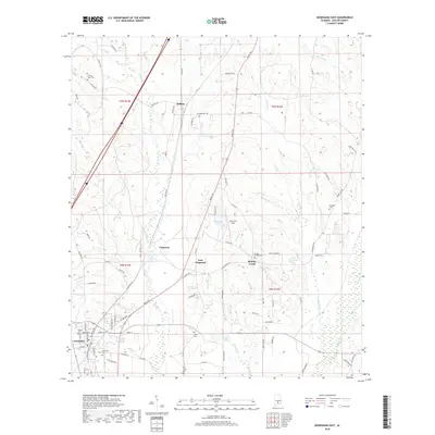
2018 Map of Georgiana East
USGS Topo · Published 2018About this map
The timberlands and creek bottoms of Butler County define this 2018 survey, centered on the community of Chapman. This region is shaped by its drainage patterns, with Rocky Cr and Brushy Cr flowing through a landscape marked by small settlements and family-named landmarks. The map documents the northern reaches of Georgiana, where the local road network connects established rural centers like Bolling and East Chapman.
Find a feature on this map
89 named features on this map. Tap any name to fly to it.
Don’t see what you’re looking for? This feature index may not catch every label — zoom into the map to look around manually.
Map Details
Editions of this 2018 Georgiana East Map
This is the sole edition of this map. No revisions or reprints were ever made.
Other maps of this area

1953 · Andalusia
USGS Topo · 1:250,000

1957 · Andalusia
USGS Topo · 1:250,000

1971 · Industry
USGS Topo · 1:24,000

1971 · Greenville West
USGS Topo · 1:24,000

1971 · Pigeon Creek
USGS Topo · 1:24,000

1971 · Mc Kenzie
USGS Topo · 1:24,000

1971 · Greenville East
USGS Topo · 1:24,000

1971 · Georgiana East
USGS Topo · 1:24,000

1971 · Garland
USGS Topo · 1:24,000

1971 · Georgiana West
USGS Topo · 1:24,000